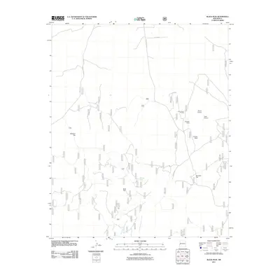
2011 Map of Black Peak
USGS Topo · Published 2011About this map
Black Peak stands as a prominent landmark in this high-elevation landscape within Catron County, defined by its complex network of forest roads and intermittent water sources. The terrain is shaped by the drainage systems of the West Fork Centerfire Creek and East Fork Centerfire Creek, which cut through the southern portion of the quadrangle. High plateaus and depressions such as Mangitas Flat and Johnson Basin characterize the central area, where the Johnson Basin Windmill indicates the historical and ongoing importance of water management for ranching and forest operations.
Find a feature on this map
17 named features on this map. Tap any name to fly to it.
Don’t see what you’re looking for? This feature index may not catch every label — zoom into the map to look around manually.
Map Details
Editions of this 2011 Black Peak Map
This is the sole edition of this map. No revisions or reprints were ever made.
Other maps of this area

1915 · Reserve
USGS Topo · 1:125,000

1918 · Reserve
USGS Topo · 1:125,000

1954 · Clifton
USGS Topo · 1:250,000

1954 · Saint Johns
USGS Topo · 1:250,000

1955 · Red Hill
USGS Topo · 1:24,000

1957 · Clifton
USGS Topo · 1:250,000

1957 · Saint Johns
USGS Topo · 1:250,000

1958 · Clifton
USGS Topo · 1:250,000

1958 · Saint Johns
USGS Topo · 1:250,000

1962 · Clifton
USGS Topo · 1:250,000