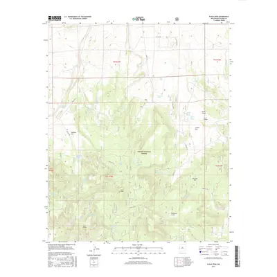
2017 Map of Black Peak
USGS Topo · Published 2017About this map
Apache National Forest dominates this Catron County landscape, defined by a complex network of canyons and high-altitude water sources. The namesake Black Peak rises as a central landmark, surrounded by essential range improvements such as the Mangitas Storage Tank and Water Canyon Tank. The reliance on these features, alongside natural points like Malpais Spring and Baca Spring, illustrates the critical water management required for land use in this arid region of New Mexico.
Find a feature on this map
44 named features on this map. Tap any name to fly to it.
Don’t see what you’re looking for? This feature index may not catch every label — zoom into the map to look around manually.
Map Details
Editions of this 2017 Black Peak Map
This is the sole edition of this map. No revisions or reprints were ever made.
Other maps of this area

1915 · Reserve
USGS Topo · 1:125,000

1918 · Reserve
USGS Topo · 1:125,000

1954 · Clifton
USGS Topo · 1:250,000

1954 · Saint Johns
USGS Topo · 1:250,000

1955 · Red Hill
USGS Topo · 1:24,000

1957 · Clifton
USGS Topo · 1:250,000

1957 · Saint Johns
USGS Topo · 1:250,000

1958 · Clifton
USGS Topo · 1:250,000

1958 · Saint Johns
USGS Topo · 1:250,000

1962 · Clifton
USGS Topo · 1:250,000