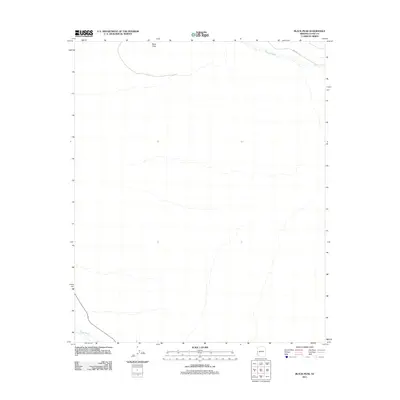
2011 Map of Black Peak
USGS Topo · Published 2011About this map
Black Peak anchors the northern landscape of this arid La Paz County region, serving as a prominent topographic landmark in the desert terrain. The area is defined by the ephemeral drainage patterns of significant desert watercourses, including the broad Osborne Wash crossing the northern corner and Bouse Wash cutting through the southwestern edge. These washes trace the movement of seasonal waters across a largely unpopulated expanse where the primary human footprint is marked by Shea Rd in the north. The survey illustrates the stark, natural character of the Arizona desert, highlighting how elevation and hydrology dictate the layout of the land far from major population centers.
Find a feature on this map
4 named features on this map. Tap any name to fly to it.
Don’t see what you’re looking for? This feature index may not catch every label — zoom into the map to look around manually.
Map Details
Editions of this 2011 Black Peak Map
This is the sole edition of this map. No revisions or reprints were ever made.
Other maps of this area

1911 · Parker
USGS Topo · 1:125,000

1930 · Linskey
USGS Topo · 1:62,500

1931 · Moon Mtn
USGS Topo · 1:62,500

1932 · Moon Mtn
USGS Topo · 1:62,500

1942 · Blythe
USGS Topo · 1:250,000

1942 · MOON MTN
USGS Topo · 1:62,500

1943 · Parker
USGS Topo · 1:62,500

1949 · Parker
USGS Topo · 1:62,500

1950 · Parker
USGS Topo · 1:62,500

1954 · Salton Sea
USGS Topo · 1:250,000