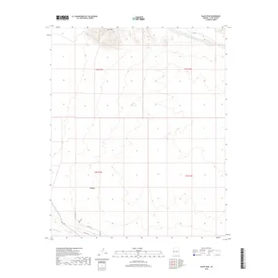
2018 Map of Black Peak
USGS Topo · Published 2018About this map
Black Peak rises as a prominent landmark in this desert landscape, overlooking the development of Parker as it extends into the lower reaches of the quadrangle. The terrain is defined by dramatic elevation changes and dry drainage systems, notably Osborne Wash to the north and Bouse Wash at the southern edge. The settlement pattern shows a distinct shift from the open, high-relief land of the Black Peak vicinity to the emerging grid of the town. Street-level detail provides a clear view of local infrastructure, including Parker Blvd, Wayside Dr, and the specialized corridor along Industrial Ln. This 2018 survey illustrates how the community has adapted to the arid environment, balancing residential and industrial growth against the constraints of the surrounding washes and peaks.
Find a feature on this map
14 named features on this map. Tap any name to fly to it.
Don’t see what you’re looking for? This feature index may not catch every label — zoom into the map to look around manually.
Map Details
Editions of this 2018 Black Peak Map
This is the sole edition of this map. No revisions or reprints were ever made.
Other maps of this area

1911 · Parker
USGS Topo · 1:125,000

1930 · Linskey
USGS Topo · 1:62,500

1931 · Moon Mtn
USGS Topo · 1:62,500

1932 · Moon Mtn
USGS Topo · 1:62,500

1942 · Blythe
USGS Topo · 1:250,000

1942 · MOON MTN
USGS Topo · 1:62,500

1943 · Parker
USGS Topo · 1:62,500

1949 · Parker
USGS Topo · 1:62,500

1950 · Parker
USGS Topo · 1:62,500

1954 · Salton Sea
USGS Topo · 1:250,000