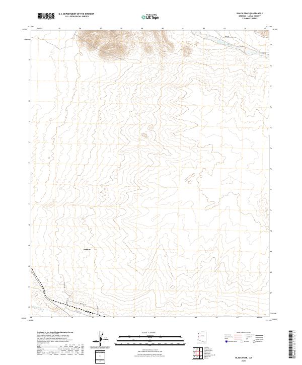
2021 Map of Black Peak
USGS Topo · Published 2021About this map
Parker serves as the primary hub of development in this arid desert landscape, with a structured grid of streets including Parker Blvd and Central Ave extending toward the southern boundary. The surrounding terrain is defined by significant drainage systems such as Osborne Wash in the northeast and Bause Wash in the southwest, illustrating the desert's hydrological patterns. Local transportation routes like Shea Rd provide access through the open country, while the concentration of infrastructure around Industrial Ln and Wayside Dr suggests the commercial and industrial expansion of the town. This 2021 update by the U.S. Geological Survey details the intersection of modern street development and the timeless natural topography of La Paz County.
Find a feature on this map
13 named features on this map. Tap any name to fly to it.
Don’t see what you’re looking for? This feature index may not catch every label — zoom into the map to look around manually.
Map Details
Editions of this 2021 Black Peak Map
This is the sole edition of this map. No revisions or reprints were ever made.
Other maps of this area

1911 · Parker
USGS Topo · 1:125,000

1930 · Linskey
USGS Topo · 1:62,500

1931 · Moon Mtn
USGS Topo · 1:62,500

1932 · Moon Mtn
USGS Topo · 1:62,500

1942 · Blythe
USGS Topo · 1:250,000

1942 · MOON MTN
USGS Topo · 1:62,500

1943 · Parker
USGS Topo · 1:62,500

1949 · Parker
USGS Topo · 1:62,500

1950 · Parker
USGS Topo · 1:62,500

1954 · Salton Sea
USGS Topo · 1:250,000