2024 Map of Black Pine
USGS Topo · Published 2024About this map
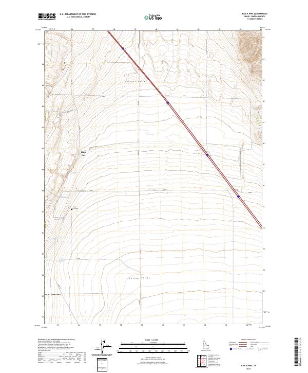
Juniper Valley and Curlew Valley dominate this modern survey of south-central Oneida County, Idaho, where the high desert terrain transitions between open basins and rugged canyons. The settlement of Black Pine is the focal point of the area, supported by a network of vital water sources including Stone Spring, Black Pine Spring, and Rose Spring. These springs and seasonal drainages, like Cow Canyon and East Dry Canyon, are fundamental to the land's utility in this arid region.
Find a feature on this map
18 named features on this map. Tap any name to fly to it.
Don’t see what you’re looking for? This feature index may not catch every label — zoom into the map to look around manually.
Map Details
Editions of this 2024 Black Pine Map
This is the sole edition of this map. No revisions or reprints were ever made.
Other maps of this area

1954 · Pocatello
USGS Topo · 1:250,000

1954 · Brigham City
USGS Topo · 1:250,000

1958 · Pocatello
USGS Topo · 1:250,000

1958 · Brigham City
USGS Topo · 1:250,000

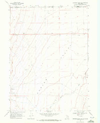
1959 · Strevell
USGS Topo · 1:62,500

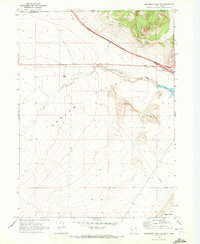
1959 · Kelton Pass
USGS Topo · 1:62,500

1962 · Brigham City
USGS Topo · 1:250,000
1968 · Monument Peak NW
USGS Topo · 1:24,000
1968 · Monument Peak NE
USGS Topo · 1:24,000
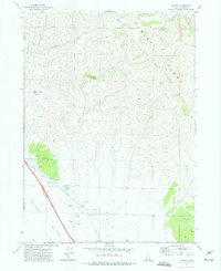
1973 · Juniper
USGS Topo · 1:24,000