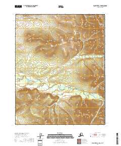
2018 Map of Black River A-1 NE
USGS Topo · Published 2018About this map
Grayling Fork Black River meanders across this northern landscape near the international border, defining the drainage patterns of the eastern Yukon-Koyukuk region. This 2018 survey by the U.S. Geological Survey illustrates the transition between higher elevations and the winding watercourses that characterize this wilderness corridor. The northern reaches are shaped by the flow of Tikan Cr, which cuts through the mountainous terrain before joining larger systems to the west. Positioned directly against the boundary of Canada and the United States of America, the map offers a clear view of the topographic contours that define this remote section of the interior. The survey provides a precise record of the land's natural geometry, highlighting the isolation and scale of the river valleys in an area devoid of permanent modern settlements or infrastructure.
Find a feature on this map
10 named features on this map. Tap any name to fly to it.
Don’t see what you’re looking for? This feature index may not catch every label — zoom into the map to look around manually.
Map Details
Editions of this 2018 Black River A-1 NE Map
This is the sole edition of this map. No revisions or reprints were ever made.
Other maps of this area

1951 · Black River
USGS Topo · 1:250,000
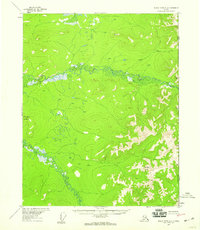
1956 · Black River A-1
USGS Topo · 1:63,360

1956 · Black River B-1
USGS Topo · 1:63,360

1956 · Black River
USGS Topo · 1:250,000

1964 · Black River
USGS Topo · 1:250,000
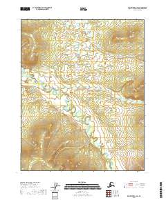
2018 · Black River A-1 SW
USGS Topo · 1:25,000
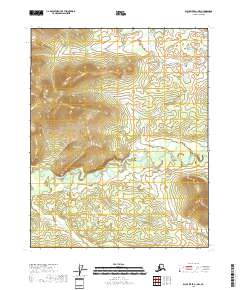
2018 · Black River A-1 NW
USGS Topo · 1:25,000
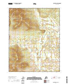
2018 · Black River B-1 SW
USGS Topo · 1:25,000
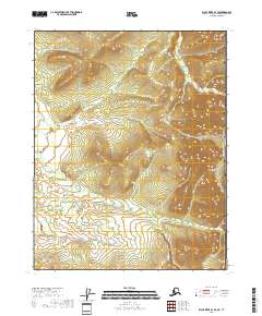
2018 · Black River B-1 SE
USGS Topo · 1:25,000
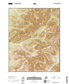
2018 · Black River A-1 SE
USGS Topo · 1:25,000