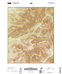
2018 Map of Black River A-1 SE
USGS Topo · Published 2018About this map
Midnight Hill rises as the central landmark of this high-latitude terrain within the Yukon-Koyukuk region, illustrating the stark topographic character of the northern interior. The map documents a segment of the international boundary between the United States of America and Canada, where the landscape transitions across the eastern edge of the quadrangle. The grid of the Public Land Survey System, including T15n R31e and T14n R31e, provides the primary structure for this largely undeveloped territory. The lack of roads or established settlements on this 2018 survey emphasizes the isolation of the region, where the terrain itself serves as the primary record of the land. Geographic and surveying points across T15n R32e and T14n R32e define the parcels along the border, offering a precise view of this remote boundary line for researchers and collectors.
Find a feature on this map
7 named features on this map. Tap any name to fly to it.
Don’t see what you’re looking for? This feature index may not catch every label — zoom into the map to look around manually.
Map Details
Editions of this 2018 Black River A-1 SE Map
This is the sole edition of this map. No revisions or reprints were ever made.
Other maps of this area

1951 · Charley River
USGS Topo · 1:250,000

1951 · Black River
USGS Topo · 1:250,000
1956 · Black River A-1
USGS Topo · 1:63,360

1956 · Black River
USGS Topo · 1:250,000
1956 · Charley River D-1
USGS Topo · 1:63,360

1956 · Charley River
USGS Topo · 1:250,000

1964 · Black River
USGS Topo · 1:250,000
2018 · Black River A-1 SW
USGS Topo · 1:25,000
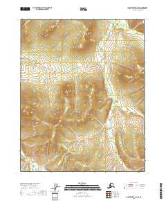
2018 · Charley River D-1 NW
USGS Topo · 1:25,000
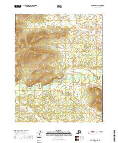
2018 · Black River A-1 NW
USGS Topo · 1:25,000