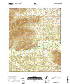
2018 Map of Black River A-1 NW
USGS Topo · Published 2018About this map
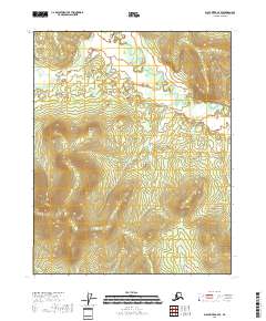
Grayling Fork Black River dominates the central landscape of this wilderness area in the Alaska interior. The river winds through a broad, low valley floor, flanked by rising upland terrain that defines the drainage basin. This 2018 survey reveals the intricate hydrography of the fork as it meanders across the southern half of the quadrangle, creating complex patterns in the low-lying wetlands. The surrounding land is partitioned by several townships, including t16n r30e and t17n r30e, though the map is devoid of named human settlements or infrastructure. The elevation contours highlight a significant ridge system in the north and east, providing a clear picture of the natural topography that governs the flow of the Black River watershed.
Find a feature on this map
9 named features on this map. Tap any name to fly to it.
Don’t see what you’re looking for? This feature index may not catch every label — zoom into the map to look around manually.
Map Details
Editions of this 2018 Black River A-1 NW Map
This is the sole edition of this map. No revisions or reprints were ever made.
Other maps of this area

1951 · Black River
USGS Topo · 1:250,000
1956 · Black River A-1
USGS Topo · 1:63,360

1956 · Black River A-2
USGS Topo · 1:63,360

1956 · Black River B-2
USGS Topo · 1:63,360

1956 · Black River B-1
USGS Topo · 1:63,360

1956 · Black River
USGS Topo · 1:250,000

1964 · Black River
USGS Topo · 1:250,000
2018 · Black River A-1 SW
USGS Topo · 1:25,000
2018 · Black River A-2 NE
USGS Topo · 1:25,000
2018 · Black River A-2 SE
USGS Topo · 1:25,000