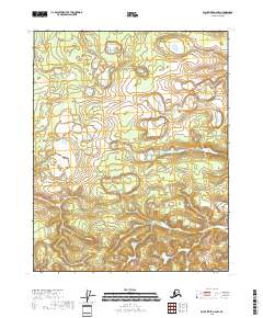
2018 Map of Black River A-6 NW
USGS Topo · Published 2018About this map
The interior landscape of the Yukon-Koyukuk Census Area is meticulously documented in this 2018 survey, focusing on the vast wetland systems and intricate drainage patterns of the region. The topography is defined by the Public Land Survey System grids of T16n R18e and T16n R19e, where the terrain transitions from dense clusters of small lakes and marshes in the north to more defined contour elevations in the south. These patterns reflect the permafrost-influenced hydrology typical of the subarctic, showing the distribution of water bodies across T15n R18e and T15n R19e. The map serves as a vital record for understanding the natural state of this roadless area, where topography and water are the primary features of the land.
Find a feature on this map
4 named features on this map. Tap any name to fly to it.
Don’t see what you’re looking for? This feature index may not catch every label — zoom into the map to look around manually.
Map Details
Editions of this 2018 Black River A-6 NW Map
This is the sole edition of this map. No revisions or reprints were ever made.
Other maps of this area

1951 · Fort Yukon
USGS Topo · 1:250,000

1951 · Black River
USGS Topo · 1:250,000

1956 · Black River B-6
USGS Topo · 1:63,360

1956 · Fort Yukon B-1
USGS Topo · 1:63,360

1956 · Fort Yukon A-1
USGS Topo · 1:63,360

1956 · Black River A-6
USGS Topo · 1:63,360

1956 · Fort Yukon
USGS Topo · 1:250,000

1956 · Black River
USGS Topo · 1:250,000

1964 · Black River
USGS Topo · 1:250,000
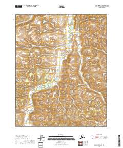
2018 · Black River A-6 SE
USGS Topo · 1:25,000