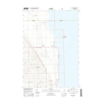
2014 Map of Black River
USGS Topo · Published 2014About this map
Lake Huron defines the eastern edge of this Michigan coastline, where the mouth of the Black River meets the Great Lake. This 2014 survey documents the interface between the dense woodlands of the Huron National Forest and the established settlements along the shore. The village of Black River serves as a focal point near the northern forest boundary, while the community of Alcona sits further south, its history preserved in the Alcona Cem and Calvary Cem.
Find a feature on this map
39 named features on this map. Tap any name to fly to it.
Don’t see what you’re looking for? This feature index may not catch every label — zoom into the map to look around manually.
Map Details
Editions of this 2014 Black River Map
This is the sole edition of this map. No revisions or reprints were ever made.
Other maps of this area

1954 · Tawas City
USGS Topo · 1:250,000

1958 · Tawas City
USGS Topo · 1:250,000

1959 · Harrisville
USGS Topo · 1:62,500

1971 · Spruce
USGS Topo · 1:24,000
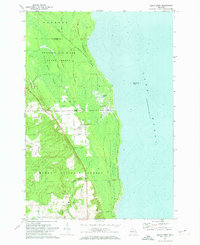
1971 · Black River
USGS Topo · 1:24,000
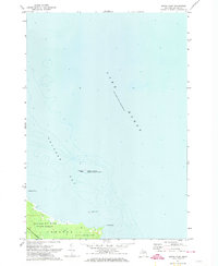
1971 · South Point
USGS Topo · 1:24,000
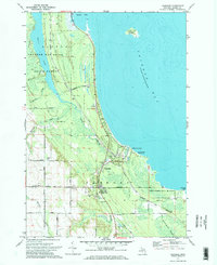
1971 · Ossineke
USGS Topo · 1:24,000

1983 · Hubbard Lake
USGS Topo · 1:100,000
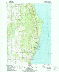
1989 · Harrisville
USGS Topo · 1:24,000
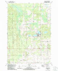
1989 · Lincoln
USGS Topo · 1:24,000