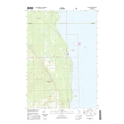
2017 Map of Black River
USGS Topo · Published 2017About this map
Negwegon State Park dominates the northern shoreline of this Lake Huron coastal region, where the ancient Potawatomi Trail and Chippewa Trail trace the wooded edge of the water. This 2017 survey reveals a landscape defined by its coastal wetlands and drainage systems, including the expansive Black River Swamp and numerous small tributaries like Butternut Cr and DeRocher Cr. The settlement patterns here are modest and tied to the coast, with the namesake Black River hamlet situated near the mouth of its river, while Alcona lies further south along the shore.
Find a feature on this map
46 named features on this map. Tap any name to fly to it.
Don’t see what you’re looking for? This feature index may not catch every label — zoom into the map to look around manually.
Map Details
Editions of this 2017 Black River Map
This is the sole edition of this map. No revisions or reprints were ever made.
Other maps of this area

1954 · Tawas City
USGS Topo · 1:250,000

1958 · Tawas City
USGS Topo · 1:250,000

1959 · Harrisville
USGS Topo · 1:62,500

1971 · Spruce
USGS Topo · 1:24,000
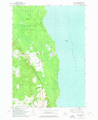
1971 · Black River
USGS Topo · 1:24,000
1971 · South Point
USGS Topo · 1:24,000
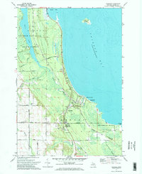
1971 · Ossineke
USGS Topo · 1:24,000

1983 · Hubbard Lake
USGS Topo · 1:100,000
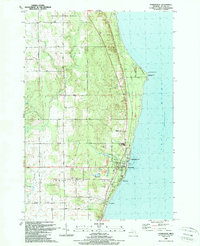
1989 · Harrisville
USGS Topo · 1:24,000
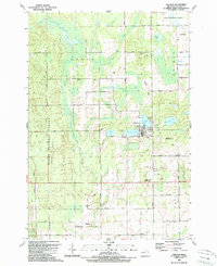
1989 · Lincoln
USGS Topo · 1:24,000