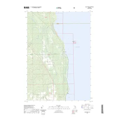
2023 Map of Black River
USGS Topo · Published 2023About this map
Lake Huron defines the eastern edge of this coastal landscape, where the settlements of Black River and Alcona sit along the shoreline. The interior is characterized by the complex drainage systems of the North Branch Black River and the Black River Swamp, which feed into the main Black River channel. Large portions of the territory are protected within the Huron National Forest, showing a network of forest roads and trails such as Sand Hill Rd and Bouchard Rd.
Find a feature on this map
44 named features on this map. Tap any name to fly to it.
Don’t see what you’re looking for? This feature index may not catch every label — zoom into the map to look around manually.
Map Details
Editions of this 2023 Black River Map
This is the sole edition of this map. No revisions or reprints were ever made.
Other maps of this area

1954 · Tawas City
USGS Topo · 1:250,000

1958 · Tawas City
USGS Topo · 1:250,000

1959 · Harrisville
USGS Topo · 1:62,500

1971 · Spruce
USGS Topo · 1:24,000
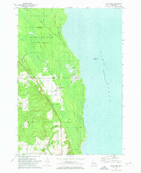
1971 · Black River
USGS Topo · 1:24,000
1971 · South Point
USGS Topo · 1:24,000
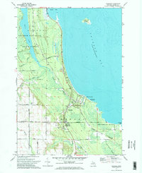
1971 · Ossineke
USGS Topo · 1:24,000

1983 · Hubbard Lake
USGS Topo · 1:100,000
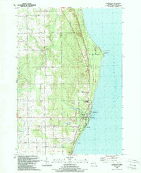
1989 · Harrisville
USGS Topo · 1:24,000
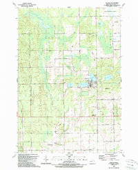
1989 · Lincoln
USGS Topo · 1:24,000