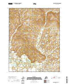
2018 Map of Black River B-2 SW
USGS Topo · Published 2018About this map
Grayling Fork Black River dominates the southwestern portion of this interior Alaskan terrain, where the meandering watercourse carves a complex path through low-lying marshlands. This 2018 survey reveals the intricate hydrography of the Grayling Fork Black River valley, defined by numerous oxbows and seasonal channels that reflect the region's dynamic hydrology. The topography north and east of the river transitions into rising uplands, providing a clear visualization of the drainage patterns within the eastern reaches of the Yukon-Koyukuk Census Area. This remote wilderness is meticulously partitioned by the Public Land Survey System, with the map delineating the boundaries of t18n r27e, t18n r28e, t17n r27e, and t17n r28e as part of the broader administrative grid of the Alaskan interior.
Find a feature on this map
5 named features on this map. Tap any name to fly to it.
Don’t see what you’re looking for? This feature index may not catch every label — zoom into the map to look around manually.
Map Details
Editions of this 2018 Black River B-2 SW Map
This is the sole edition of this map. No revisions or reprints were ever made.
Other maps of this area

1951 · Black River
USGS Topo · 1:250,000

1956 · Black River A-2
USGS Topo · 1:63,360

1956 · Black River B-3
USGS Topo · 1:63,360

1956 · Black River B-2
USGS Topo · 1:63,360

1956 · Black River A-3
USGS Topo · 1:63,360

1956 · Black River
USGS Topo · 1:250,000

1964 · Black River
USGS Topo · 1:250,000
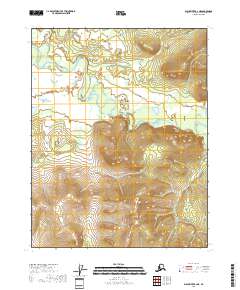
2018 · Black River B-2 NE
USGS Topo · 1:25,000
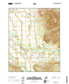
2018 · Black River A-2 NE
USGS Topo · 1:25,000
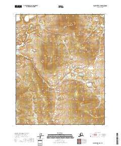
2018 · Black River B-3 NE
USGS Topo · 1:25,000