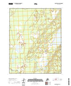
2018 Map of Black River C-6 SW
USGS Topo · Published 2018About this map
Grass River meanders across the southern reach of this Yukon-Koyukuk interior landscape, defining a wetland environment characterized by a dense network of seasonal pools and stagnant water bodies. The terrain is marked by significant lacustrine features such as Ohtig Lake and Jokoei Lake, which anchor the northern and central portions of the quadrangle. This 2018 survey reveals an undeveloped wilderness where the natural hydrology of the Grass River basin remains the primary structural element. The lack of roads or permanent structures reflects the seasonal and shifting nature of these wetlands within the Township 20 North, Range 18 East and surrounding survey grids, providing a baseline for environmental study and traditional land use in this part of Alaska.
Find a feature on this map
11 named features on this map. Tap any name to fly to it.
Don’t see what you’re looking for? This feature index may not catch every label — zoom into the map to look around manually.
Map Details
Editions of this 2018 Black River C-6 SW Map
This is the sole edition of this map. No revisions or reprints were ever made.
Other maps of this area

1951 · Fort Yukon
USGS Topo · 1:250,000

1951 · Black River
USGS Topo · 1:250,000

1956 · Fort Yukon C-1
USGS Topo · 1:63,360

1956 · Black River B-6
USGS Topo · 1:63,360

1956 · Black River C-6
USGS Topo · 1:63,360

1956 · Fort Yukon B-1
USGS Topo · 1:63,360

1956 · Fort Yukon
USGS Topo · 1:250,000

1956 · Black River
USGS Topo · 1:250,000

1964 · Black River
USGS Topo · 1:250,000
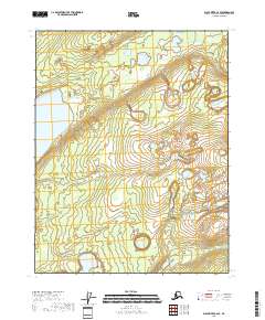
2018 · Black River C-6 SE
USGS Topo · 1:25,000