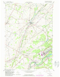
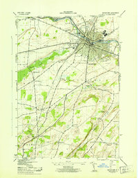
1958 Map of Black River
USGS Topo · Published 1989About this map
The Black River and Indian River drainage basins define this Jefferson County landscape, where mid-century agricultural patterns met expanding military infrastructure. The Fort Drum Military Reservation dominates the eastern half of the map, encompassing landmarks like the Leroy Mansion and several rural cemeteries, including St Marys Cem. Small rural nodes like Dutch Settlement and Evans Mills are connected by a dense network of family-named thoroughfares such as Kiser Schoolhouse Road and Van Tassel Road.
Find a feature on this map
71 named features on this map. Tap any name to fly to it.
Don’t see what you’re looking for? This feature index may not catch every label — zoom into the map to look around manually.
Map Details
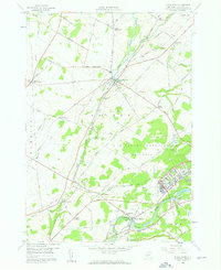
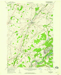
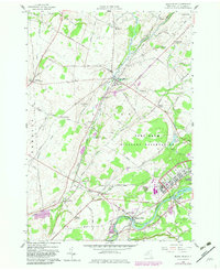
Editions of this 1958 Black River Map
4 editions found
Other maps of this area

1895 · Watertown
USGS Topo · 1:62,500

1898 · Watertown
USGS Topo · 1:62,500

1902 · Carthage
USGS Topo · 1:62,500

1903 · Theresa
USGS Topo · 1:62,500

1904 · Carthage
USGS Topo · 1:62,500

1908 · Watertown
USGS Topo · 1:62,500

1909 · Watertown
USGS Topo · 1:62,500

1911 · Antwerp
USGS Topo · 1:62,500

1942 · Copenhagen
USGS Topo · 1:24,000
1943 · Watertown
USGS Topo · 1:31,680