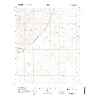
2020 Map of Black River Village
USGS Topo · Published 2020About this map
Carlsbad Caverns National Park borders the western edge of this Eddy County landscape, where the Chihuahuan Desert meets the rugged slopes of Guadalupe Ridge. The small settlement of Whites City stands as a gateway along the highway, while further east, the eponymous Black River Village sits near the banks of the Black River. This arid terrain is defined by a complex network of canyons and draws, including Maverick Canyon, Elbow Canyon, and Chinaberry Draw, which provide critical drainage during the region's seasonal rains.
Find a feature on this map
32 named features on this map. Tap any name to fly to it.
Don’t see what you’re looking for? This feature index may not catch every label — zoom into the map to look around manually.
Map Details
Editions of this 2020 Black River Village Map
This is the sole edition of this map. No revisions or reprints were ever made.
Other maps of this area

1939 · Carlsbad
USGS Topo · 1:62,500

1943 · Carlsbad
USGS Topo · 1:62,500

1943 · West Carlsbad
USGS Topo · 1:62,500

1945 · West Carlsbad
USGS Topo · 1:62,500

1945 · Carlsbad Caverns East
USGS Topo · 1:62,500

1945 · Malaga
USGS Topo · 1:62,500

1946 · Malaga
USGS Topo · 1:62,500

1947 · Carlsbad Caverns East
USGS Topo · 1:62,500

1954 · Carlsbad
USGS Topo · 1:250,000

1958 · Carlsbad
USGS Topo · 1:250,000