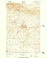
1953 Map of Black Rock Spring SW
USGS Topo · Published 1957About this map
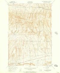
The Yakima Firing Center Military Reservation dominates the northern half of this terrain, where the high elevations of Yakima Ridge overlook the surrounding basalt landscape. This 1950s survey captures a transition point between military training grounds and agricultural utility. To the south, the lower elevations of the Moxee Valley are bound by the rising slopes of the Rattlesnake Hills. The map provides specific evidence of regional infrastructure and land management, featuring the Plant Quarantine Station and an Abandoned Reservoir located near the intersection of Hanford Road and Desmarias Road. The drainage patterns are clearly defined by Selah Creek in the northeast, illustrating the dry, structured topography characteristic of Yakima County's high desert before later developments altered the landscape.
Find a feature on this map
10 named features on this map. Tap any name to fly to it.
Don’t see what you’re looking for? This feature index may not catch every label — zoom into the map to look around manually.
Map Details
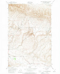
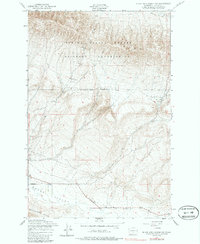
Editions of this 1953 Black Rock Spring SW Map
3 editions found
Other maps of this area

1910 · Zillah
USGS Topo · 1:125,000

1936 · Yakima East
USGS Topo · 1:48,000

1936 · Hog Ranch Buttes
USGS Topo · 1:48,000

1941 · Black Rock Spring
USGS Topo · 1:62,500

1941 · Yakima East
USGS Topo · 1:62,500

1950 · Yakima
USGS Topo · 1:250,000
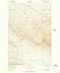
1953 · Black Rock Spring NW
USGS Topo · 1:24,000

1953 · Elephant Mountain
USGS Topo · 1:24,000
1953 · Black Rock Spring
USGS Topo · 1:24,000
1953 · Black Rock Spring NE
USGS Topo · 1:24,000