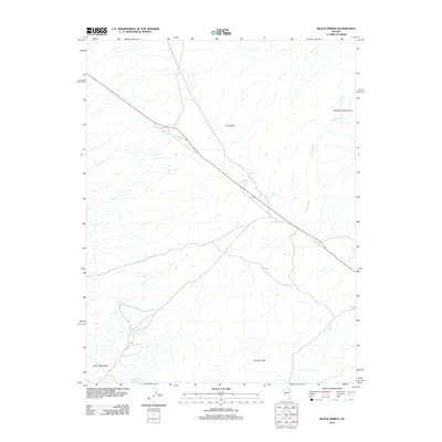
2012 Map of Black Spring
USGS Topo · Published 2012About this map
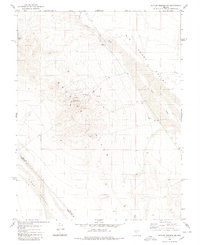
Black Spring sits at the heart of this high-desert landscape in Nye County, where the topography is defined by broad basins and flanking ranges. The map documents the vast Ione Valley, a central corridor bounded by the rising slopes of the Shoshone Mountains to the northeast and the Royston Hills to the southeast. At the base of the Cedar Mountains, the terrain transitions into complex drainage patterns, most notably the seasonal course of Golden Wash. This 2012 survey illustrates the sparse water resources critical to this arid region, pinpointing isolated sources like Warm Spring. The network of roads following the valley floor suggests the persistent importance of these natural paths through the Great Basin, connecting remote springs and landmark peaks that have long served as navigational anchors in the Nevada desert.
Find a feature on this map
7 named features on this map. Tap any name to fly to it.
Don’t see what you’re looking for? This feature index may not catch every label — zoom into the map to look around manually.
Map Details
Editions of this 2012 Black Spring Map
This is the sole edition of this map. No revisions or reprints were ever made.
Other maps of this area

1907 · Tonopah
USGS Topo · 1:250,000

1908 · Tonopah
USGS Topo · 1:250,000

1956 · Tonopah
USGS Topo · 1:250,000

1959 · Tonopah
USGS Topo · 1:250,000

1962 · Tonopah
USGS Topo · 1:250,000
1979 · Goldyke
USGS Topo · 1:24,000
1979 · Simon
USGS Topo · 1:24,000

1980 · Cole Spring
USGS Topo · 1:24,000
1980 · Cloverdale Ranch
USGS Topo · 1:24,000
1980 · Outlaw Springs NE
USGS Topo · 1:24,000