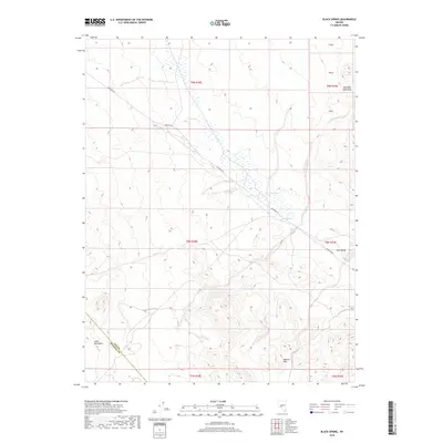
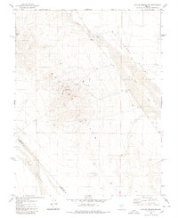
2018 Map of Black Spring
USGS Topo · Published 2018About this map
Warm Spring and Black Spring anchor this high-desert landscape at the intersection of several Great Basin landforms. Located along the boundary between Nye and Mineral counties, the terrain is defined by the southern reaches of the Shoshone Mountains and the northern extent of the Royston Hills. The map traces the long path of Poleline Rd as it cuts across the Ione Valley, a critical corridor for utility and transportation through this arid region.
Find a feature on this map
16 named features on this map. Tap any name to fly to it.
Don’t see what you’re looking for? This feature index may not catch every label — zoom into the map to look around manually.
Map Details
Editions of this 2018 Black Spring Map
This is the sole edition of this map. No revisions or reprints were ever made.
Other maps of this area

1907 · Tonopah
USGS Topo · 1:250,000

1908 · Tonopah
USGS Topo · 1:250,000

1956 · Tonopah
USGS Topo · 1:250,000

1959 · Tonopah
USGS Topo · 1:250,000

1962 · Tonopah
USGS Topo · 1:250,000
1979 · Goldyke
USGS Topo · 1:24,000
1979 · Simon
USGS Topo · 1:24,000

1980 · Cole Spring
USGS Topo · 1:24,000
1980 · Cloverdale Ranch
USGS Topo · 1:24,000
1980 · Outlaw Springs NE
USGS Topo · 1:24,000