
1964 Map of Black Spring Reservoir
USGS Topo · Published 1968About this map
Black Spring Reservoir and Indian Reservoir serve as the primary landmarks in this high-elevation corner of Sweetwater County, documented during the early 1960s. The landscape is defined by the utilitarian management of water and transit through an arid environment. The presence of Little Dry Creek and Soaphole Spring highlights the critical importance of water sources in this region, which was mapped following photogrammetric aerial surveys in 1963.
Find a feature on this map
10 named features on this map. Tap any name to fly to it.
Don’t see what you’re looking for? This feature index may not catch every label — zoom into the map to look around manually.
Map Details
Editions of this 1964 Black Spring Reservoir Map
This is the sole edition of this map. No revisions or reprints were ever made.
Other maps of this area

1954 · Rock Springs
USGS Topo · 1:250,000

1957 · Mc Kinnon Junction
USGS Topo · 1:62,500

1958 · Rock Springs
USGS Topo · 1:250,000

1962 · Rock Springs
USGS Topo · 1:250,000
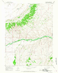
1964 · Mc Kinnon
USGS Topo · 1:24,000
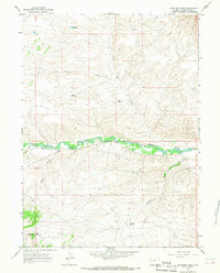
1964 · Antelope Wash
USGS Topo · 1:24,000

1964 · Winter Fat Reservoir
USGS Topo · 1:24,000
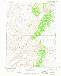
1964 · Horse Ranch
USGS Topo · 1:24,000
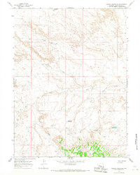
1964 · Needle Reservoir
USGS Topo · 1:24,000

1966 · Mc Kinnon Junction
USGS Topo · 1:62,500