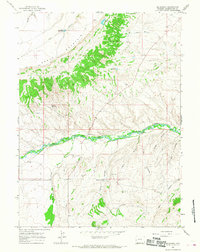
1964 Map of Mc Kinnon
USGS Topo · Published 1968About this map
Henrys Fork winds through the heart of this Sweetwater County landscape, providing a vital water source for the settlement of Mc Kinnon. The map documents a rural ranching and agricultural economy, evidenced by the extensive network of irrigation features like the Interstate Canal and several stock-related water bodies including Phil Mass Reservoir, Shelton Lake, and Branch Reservoir. A prominent geographic feature, Cedar Mountain, dominates the northern half of the sheet, with its steep rim road and canyons contrasting against the more level terrain of Lane Meadow.
Find a feature on this map
26 named features on this map. Tap any name to fly to it.
Don’t see what you’re looking for? This feature index may not catch every label — zoom into the map to look around manually.
Map Details
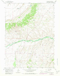
Editions of this 1964 Mc Kinnon Map
2 editions found
Other maps of this area

1885 · Ashley
USGS Topo · 1:250,000

1885 · Uinta
USGS Topo · 1:250,000

1905 · Gilbert Peak
USGS Topo · 1:125,000

1906 · Gilbert Peak
USGS Topo · 1:125,000

1906 · Marsh Peak
USGS Topo · 1:125,000

1908 · Marsh Peak
USGS Topo · 1:125,000

1954 · Salt Lake City
USGS Topo · 1:250,000

1954 · Vernal
USGS Topo · 1:250,000

1954 · Ogden
USGS Topo · 1:250,000

1954 · Rock Springs
USGS Topo · 1:250,000