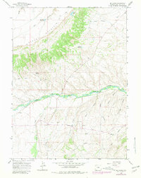
1964 Map of Mc Kinnon
USGS Topo · Published 1981About this map
Henrys Fork snakes across this high-desert landscape, defining the agricultural and social geography of the area in the 1960s. The settlement of McKinnon is anchored by vital water infrastructure like the Interstate Canal and several local reservoirs including Phil Mass Reservoir and Antler Reservoir, which supported ranching life near the Utah state line. Genealogical researchers will find the Burntfork Cem and McKinnon Cem clearly marked, alongside a historic Rendezvous Site on the riverbank. The terrain transitions from the elevations of Cedar Mountain and its Rim Road down into series of named drainages like Hisey Hollow and Coon Hollow. Small-scale industry is evidenced by scattered Gravel Pits and a specific Drill Hole landmark, while old transportation routes are represented by a network of Jeep Trails.
Find a feature on this map
27 named features on this map. Tap any name to fly to it.
Don’t see what you’re looking for? This feature index may not catch every label — zoom into the map to look around manually.
Map Details
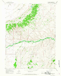
Editions of this 1964 Mc Kinnon Map
2 editions found
Other maps of this area

1885 · Ashley
USGS Topo · 1:250,000

1885 · Uinta
USGS Topo · 1:250,000

1905 · Gilbert Peak
USGS Topo · 1:125,000

1906 · Gilbert Peak
USGS Topo · 1:125,000

1906 · Marsh Peak
USGS Topo · 1:125,000

1908 · Marsh Peak
USGS Topo · 1:125,000

1954 · Salt Lake City
USGS Topo · 1:250,000

1954 · Vernal
USGS Topo · 1:250,000

1954 · Ogden
USGS Topo · 1:250,000

1954 · Rock Springs
USGS Topo · 1:250,000