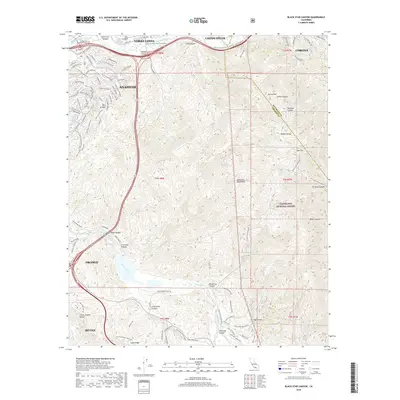
2018 Map of Black Star Canyon
USGS Topo · Published 2018About this map
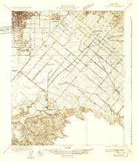
The Santa Ana River carves a critical path through the northern reach of this landscape, separating the Chino Hills from the sprawling eastern edges of Anaheim and Yorba Linda. This 2018 survey reveals the sharp contrast between the densely developed suburban grids of Orange and Irvine in the west and the massive, undeveloped protected lands of the Cleveland National Forest and the Santa Ana Mountains to the east.
Find a feature on this map
138 named features on this map. Tap any name to fly to it.
Don’t see what you’re looking for? This feature index may not catch every label — zoom into the map to look around manually.
Map Details
Editions of this 2018 Black Star Canyon Map
This is the sole edition of this map. No revisions or reprints were ever made.
Other maps of this area

1896 · Santa Ana
USGS Topo · 1:62,500

1896 · Anaheim
USGS Topo · 1:62,500

1898 · Anaheim
USGS Topo · 1:62,500

1901 · Southern California Sheet No. 1
USGS Topo · 1:250,000
1901 · Santa Ana
USGS Topo · 1:62,500
1901 · Anaheim
USGS Topo · 1:62,500

1902 · Corona
USGS Topo · 1:125,000

1904 · Southern California Sheet No. 1
USGS Topo · 1:250,000
1932 · Orange
USGS Topo · 1:31,680
1932 · Tustin
USGS Topo · 1:31,680