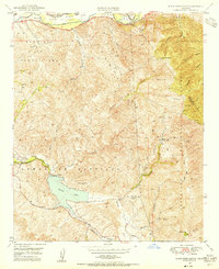
1949 Map of Black Star Canyon
USGS Topo · Published 1955About this map
Irvine Lake and the surrounding Santa Ana Mountains dominate this mid-century topographic record, showing a landscape defined by water management and mineral extraction. The reservoir is held by the Santiago Dam, which was vital for the citrus-rich plains of Orange County during this era. The map captures the industrial heritage of the canyons, noting several inactive sites like the Santiago Coal Mine and Black Star Coal Mine, as well as the Claymont Clay Mine near Gypsum Canyon.
Find a feature on this map
36 named features on this map. Tap any name to fly to it.
Don’t see what you’re looking for? This feature index may not catch every label — zoom into the map to look around manually.
Map Details
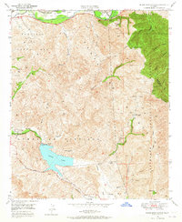
Editions of this 1949 Black Star Canyon Map
2 editions found
Other maps of this area

1896 · Santa Ana
USGS Topo · 1:62,500

1896 · Anaheim
USGS Topo · 1:62,500

1898 · Anaheim
USGS Topo · 1:62,500

1901 · Southern California Sheet No. 1
USGS Topo · 1:250,000

1901 · Santa Ana
USGS Topo · 1:62,500

1901 · Anaheim
USGS Topo · 1:62,500

1902 · Corona
USGS Topo · 1:125,000

1904 · Southern California Sheet No. 1
USGS Topo · 1:250,000

1932 · Orange
USGS Topo · 1:31,680

1932 · Tustin
USGS Topo · 1:31,680