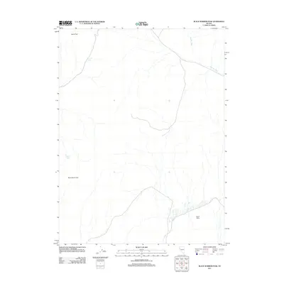
2011 Map of Black Warrior Peak
USGS Topo · Published 2011About this map
Black Warrior Peak dominates this high-desert portion of Washoe County, a landscape defined by seasonal drainages and vital water sources in an arid environment. At the time of this 2011 survey, the terrain is characterized by broad expanses like North Valley and the wandering course of Sage Hen Wash. For researchers and historians, the map documents critical water points such as Coyote Spring and Black Warrior Spring, which have historically served as essential landmarks for movement through these Nevada uplands. Elevations range from the high point of Nache Peak in the north to the rugged slopes of the central mountains, showing a region where natural topography dictates the few established access roads and paths.
Find a feature on this map
6 named features on this map. Tap any name to fly to it.
Don’t see what you’re looking for? This feature index may not catch every label — zoom into the map to look around manually.
Map Details
Editions of this 2011 Black Warrior Peak Map
This is the sole edition of this map. No revisions or reprints were ever made.
Other maps of this area

1886 · Granite Range
USGS Topo · 1:250,000

1890 · Wadsworth
USGS Topo · 1:125,000

1892 · Wadsworth
USGS Topo · 1:125,000

1894 · Granite Range
USGS Topo · 1:250,000

1894 · Wadsworth
USGS Topo · 1:125,000

1955 · Lovelock
USGS Topo · 1:250,000

1957 · Fireball Ridge
USGS Topo · 1:62,500

1957 · Nixon
USGS Topo · 1:62,500

1957 · Reno
USGS Topo · 1:250,000

1959 · Lovelock
USGS Topo · 1:250,000