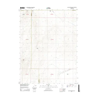
2014 Map of Black Warrior Peak
USGS Topo · Published 2014About this map
Black Warrior Peak dominates the high-elevation terrain where the Truckee Range meets the Nightingale Mountains. This 2014 survey captures a sparsely populated region of the high desert along the border of Washoe and Churchill counties. Water sources are rare and vital in this landscape, represented by Coyote Spring near Coyote Canyon and the namesake Black Warrior Spring on the western slopes. The map also delineates drainage patterns through the Sage Hen Valley via Sage Hen Wash, illustrating the arid geography of the Great Basin. While few structures are noted, the presence of Sagehen Creek Rd provides the primary access through this high-altitude wilderness.
Find a feature on this map
14 named features on this map. Tap any name to fly to it.
Don’t see what you’re looking for? This feature index may not catch every label — zoom into the map to look around manually.
Map Details
Editions of this 2014 Black Warrior Peak Map
This is the sole edition of this map. No revisions or reprints were ever made.
Other maps of this area

1886 · Granite Range
USGS Topo · 1:250,000

1890 · Wadsworth
USGS Topo · 1:125,000

1892 · Wadsworth
USGS Topo · 1:125,000

1894 · Granite Range
USGS Topo · 1:250,000

1894 · Wadsworth
USGS Topo · 1:125,000

1955 · Lovelock
USGS Topo · 1:250,000

1957 · Fireball Ridge
USGS Topo · 1:62,500

1957 · Nixon
USGS Topo · 1:62,500

1957 · Reno
USGS Topo · 1:250,000

1959 · Lovelock
USGS Topo · 1:250,000