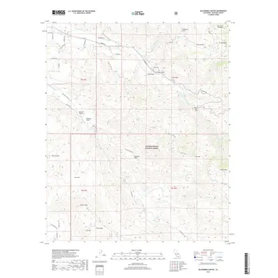
2018 Map of Blackburn Canyon
USGS Topo · Published 2018About this map
The San Bernardino National Forest dominates this section of the San Jacinto Mountains, where steep ridges and deep canyons define the landscape east of Hemet. Small, dispersed settlements like Oak Cliff and Alvin Meadows are established along the higher elevations, while Reed Valley provides a rare expanse of flatter terrain to the south. The complex drainage system of the San Jacinto River and its southern fork is meticulously traced, showing the seasonal flow of Baisley Cr and Horse Cr through narrow gaps like Toll Road Canyon. Water sources are critical markers here, with named points such as Halfway Spring, Bautista Spring, and Milky Spring serving as vital landmarks for those navigating the rugged terrain between Blackburn Ridge and Rouse Ridge.
Find a feature on this map
54 named features on this map. Tap any name to fly to it.
Don’t see what you’re looking for? This feature index may not catch every label — zoom into the map to look around manually.
Map Details
Editions of this 2018 Blackburn Canyon Map
This is the sole edition of this map. No revisions or reprints were ever made.
Other maps of this area

1901 · Southern California Sheet No. 1
USGS Topo · 1:250,000

1901 · San Jacinto
USGS Topo · 1:125,000

1904 · Southern California Sheet No. 1
USGS Topo · 1:250,000

1940 · Palm Springs
USGS Topo · 1:62,500

1940 · Hemet Reservoir
USGS Topo · 1:62,500

1942 · Banning
USGS Topo · 1:62,500

1942 · Hemet Reservoir
USGS Topo · 1:62,500

1942 · Hemet
USGS Topo · 1:62,500

1943 · Hemet
USGS Topo · 1:62,500

1943 · Banning
USGS Topo · 1:62,500