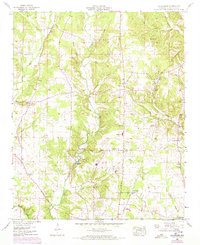
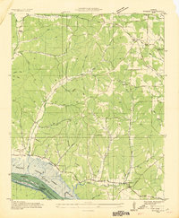
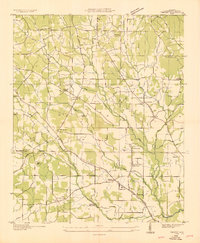
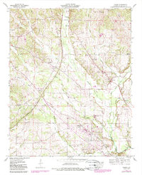
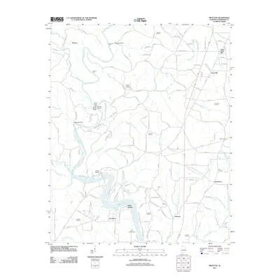
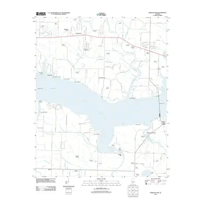
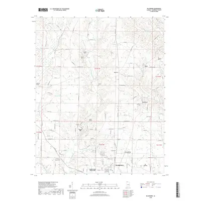
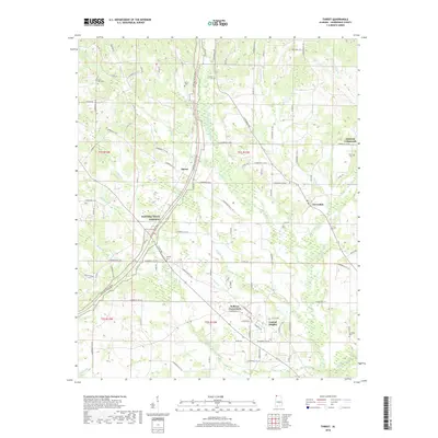
1952 Map of Blackburn
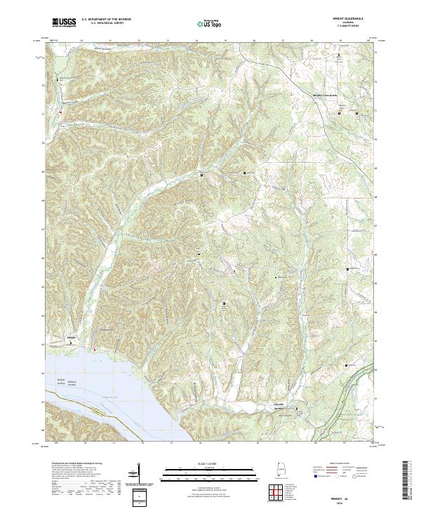
USGS Topo · Published 1973About this map
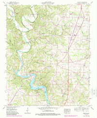
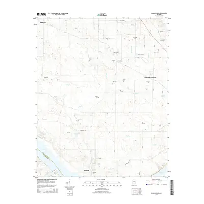
Little Cypress Creek and its many branches, including Middle Cypress Creek and Posey Branch, dominate this Lauderdale County landscape. The 1952 survey, updated in the early 1970s, details a rural Alabama community defined by its watercourses and a network of named hollows like Savannah Hollow and Gooch Hollow. Settlement is concentrated at local hubs such as Zip City and Jacksonburg, while the Louisville and Nashville Railroad cuts through the eastern terrain, serving locations like Big Cut Station. Industrial and agricultural history is visible through features such as Sharps Mill and a local racetrack. Family and community roots are well-documented across numerous country churches and burial grounds, including Stoney Point Church, Bethel Berry Cem, and Richardson Cem, providing a clear view of the area's social geography during the mid-20th century.
Find a feature on this map
52 named features on this map. Tap any name to fly to it.
Don’t see what you’re looking for? This feature index may not catch every label — zoom into the map to look around manually.
Map Details
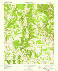
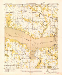
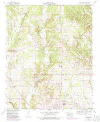
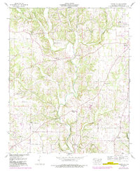
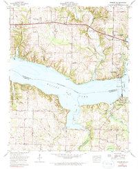
Editions of this 1952 Blackburn Map
3 editions found
Historical Maps of Florence Through Time
52 maps found
1924 Gravelly Springs
Lauderdale County, AL
1926 Gravelly Springs
Lauderdale County, AL
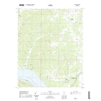
1935 Wright
Lauderdale County, AL
1936 Blackburn
Lauderdale County, AL
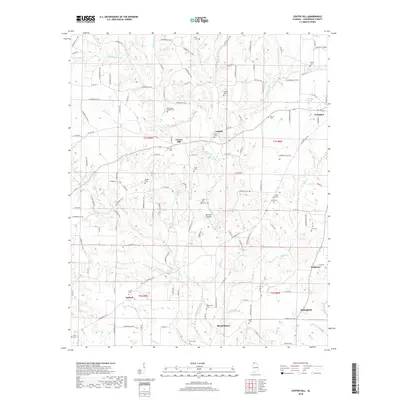
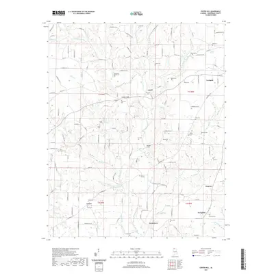
1936 Center Hill
Lauderdale County, AL
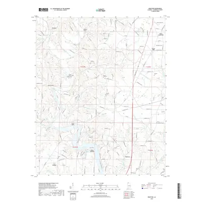
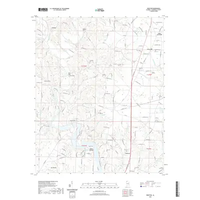
1936 Pruitton
Lauderdale County, AL

1936 Thorntontown
Lauderdale County, AL
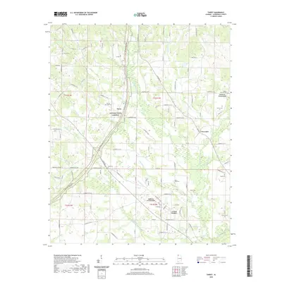
1936 Threet
Lauderdale County, AL
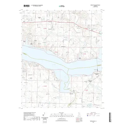
1936 Wheeler Dam
Lauderdale County, AL
1952 Blackburn
Lauderdale County, AL
1952 Center Hill
Lauderdale County, AL
1952 Pruitton
Lauderdale County, AL
1952 Wheeler Dam
Lauderdale County, AL
1953 Wright
Lauderdale County, AL
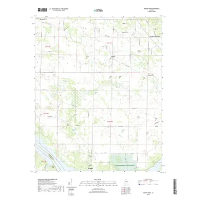
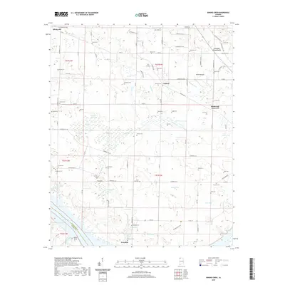
1954 Sinking Creek
Lauderdale County, AL
1954 Threet
Lauderdale County, AL
1971 Wheeler Dam
Lauderdale County, AL
2011 Blackburn
Lauderdale County, AL
2011 Center Hill
Lauderdale County, AL
2011 Pruitton
Lauderdale County, AL
2011 Sinking Creek
Lauderdale County, AL
2011 Threet
Lauderdale County, AL
2011 Wright
Lauderdale County, AL
2012 Wheeler Dam
Lauderdale County, AL
2014 Blackburn
Lauderdale County, AL
2014 Center Hill
Lauderdale County, AL
2014 Pruitton
Lauderdale County, AL
2014 Sinking Creek
Lauderdale County, AL
2014 Threet
Lauderdale County, AL
2014 Wheeler Dam
Lauderdale County, AL
2014 Wright
Lauderdale County, AL
2018 Blackburn
Lauderdale County, AL
2018 Center Hill
Lauderdale County, AL
2018 Pruitton
Lauderdale County, AL
2018 Sinking Creek
Lauderdale County, AL
2018 Threet
Lauderdale County, AL
2018 Wheeler Dam
Lauderdale County, AL
2018 Wright
Lauderdale County, AL
2020 Blackburn
Lauderdale County, AL
2020 Pruitton
Lauderdale County, AL
2020 Sinking Creek
Lauderdale County, AL
2020 Threet
Lauderdale County, AL
2020 Wheeler Dam
Lauderdale County, AL
2020 Wright
Lauderdale County, AL
2021 Center Hill
Lauderdale County, AL
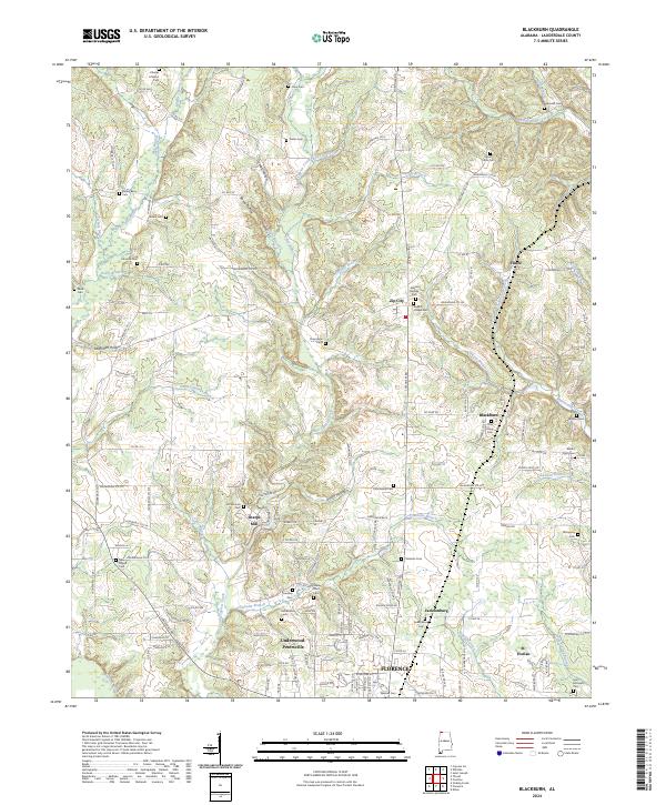
2024 Blackburn
Lauderdale County, AL
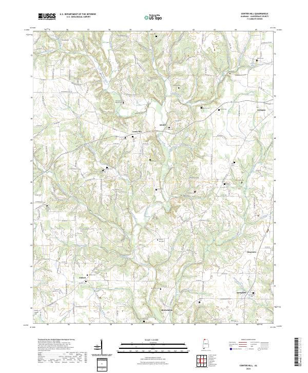
2024 Center Hill
Lauderdale County, AL
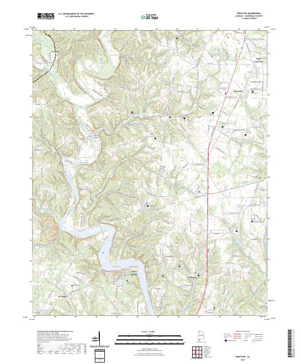
2024 Pruitton
Lauderdale County, AL
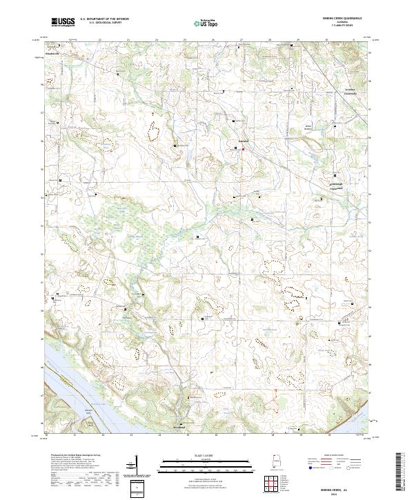
2024 Sinking Creek
Lauderdale County, AL
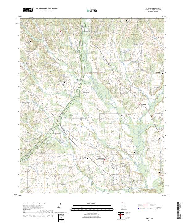
2024 Threet
Lauderdale County, AL
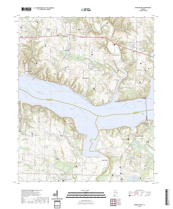
2024 Wheeler Dam
Lauderdale County, AL
2024 Wright
Lauderdale County, AL