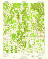
1952 Map of Blackburn
USGS Topo · Published 1958About this map
Cypress Creek and its many tributaries, including Middle Branch and Little Cypress Creek, carve through the Lauderdale County landscape in this mid-century survey. The area is defined by a dense network of early thoroughfares such as Chisholm Road and the Nashville and Louisville Road, reflecting a long-standing transit corridor between Alabama and Tennessee. Small rural communities and church-centered settlements like Zip City, Blackburn, and Latham anchor the countryside, while industrial activity is noted at the Big Cut Station Mines and Sharps Mill.
Find a feature on this map
50 named features on this map. Tap any name to fly to it.
Don’t see what you’re looking for? This feature index may not catch every label — zoom into the map to look around manually.
Map Details
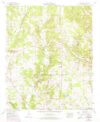
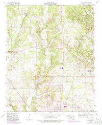
Editions of this 1952 Blackburn Map
3 editions found
Other maps of this area

1905 · Waynesboro
USGS Topo · 1:125,000

1914 · Muscle Shoals
USGS Topo · 1:48,000

1916 · Muscle Shoals
USGS Topo · 1:62,500

1924 · Gravelly Springs
USGS Topo · 1:48,000

1926 · Gravelly Springs
USGS Topo · 1:62,500

1936 · Light
USGS Topo · 1:24,000

1936 · Threet
USGS Topo · 1:24,000

1936 · Cypress Inn
USGS Topo · 1:24,000

1936 · Pruitton
USGS Topo · 1:24,000

1936 · Florence
USGS Topo · 1:24,000