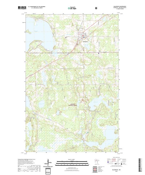
2022 Map of Blackduck
USGS Topo · Published 2022About this map
Blackduck serves as the central hub of this northern Minnesota landscape, situated at the intersection of Bemidji Rd NE and several regional county roads. The settlement is flanked by Stoner Lake to the east and the expansive Blackduck Lake to the west, where N Blackduck Lake Rd NE and Buckhorn Rd NE follow the shoreline. Local heritage is preserved at Lakeview Cem and Summit Township Cem, while the recreational and industrial character of the region is highlighted by the Blue Ox State Trail.
Find a feature on this map
67 named features on this map. Tap any name to fly to it.
Don’t see what you’re looking for? This feature index may not catch every label — zoom into the map to look around manually.
Map Details
Editions of this 2022 Blackduck Map
This is the sole edition of this map. No revisions or reprints were ever made.
Other maps of this area

1919 · Rosy
USGS Topo · 1:62,500

1919 · Quiring
USGS Topo · 1:62,500

1919 · Bridgie
USGS Topo · 1:62,500

1924 · Bridgie
USGS Topo · 1:62,500

1954 · Bemidji
USGS Topo · 1:250,000

1957 · Bemidji
USGS Topo · 1:250,000

1958 · Bemidji
USGS Topo · 1:250,000

1971 · Gimmer Lake
USGS Topo · 1:24,000

1971 · Funkley
USGS Topo · 1:24,000

1971 · Decker Lake
USGS Topo · 1:24,000