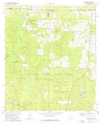
1973 Map of Blackman
USGS Topo · Published 1976About this map
Blackwater River State Forest dominates this northern Florida landscape along the Alabama border, showcasing a network of tributaries feeding into the Blackwater River. The settlement of Blackman and the farming community at Escambia Farms are central points of human activity amidst the dense forest and creek systems. To the west, the Red Oak community is anchored by the Red Oak Ch and Red Oak Cem, providing specific points of interest for genealogists tracing local families in Okaloosa County during the 1970s.
Find a feature on this map
41 named features on this map. Tap any name to fly to it.
Don’t see what you’re looking for? This feature index may not catch every label — zoom into the map to look around manually.
Map Details
Editions of this 1973 Blackman Map
3 editions found
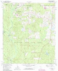
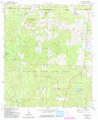
Other maps of this area

1948 · Munson
USGS Topo · 1:62,500

1949 · Crestview
USGS Topo · 1:62,500

1950 · Munson
USGS Topo · 1:62,500

1951 · Crestview
USGS Topo · 1:62,500

1953 · Andalusia
USGS Topo · 1:250,000

1957 · Andalusia
USGS Topo · 1:250,000

1957 · Pensacola
USGS Topo · 1:250,000

1959 · Pensacola
USGS Topo · 1:250,000

1960 · Pensacola
USGS Topo · 1:250,000

1971 · Bradley
USGS Topo · 1:24,000