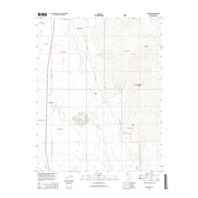
2015 Map of Blackrock
USGS Topo · Published 2015About this map
The Owens Valley floor is defined here by a complex network of water management and natural hydrology, dominated by the Los Angeles Aqueduct as it moves south through the eastern shadow of the Sierras. This survey captures the small settlements of Aberdeen and Blackrock, positioned along the valley's western edge where the alluvial fans meet the valley floor. The landscape is a study in desert water sources, from the Thibaut Ponds and Twin Lakes to essential desert oases like Hines Spring and Little Blackrock Spring. To the east, the terrain rises sharply into the Inyo National Forest, featuring the high-altitude contours of Crystal Ridge and the White-Inyo Range. This document provides a clear view of the diversion systems utilized in the early 21st century, including the Aberdeen Bypass Ditch and Division Cr Ditch, which manage the flow of the Owens River.
Find a feature on this map
43 named features on this map. Tap any name to fly to it.
Don’t see what you’re looking for? This feature index may not catch every label — zoom into the map to look around manually.
Map Details
Editions of this 2015 Blackrock Map
This is the sole edition of this map. No revisions or reprints were ever made.
Other maps of this area

1907 · Mt. Whitney
USGS Topo · 1:125,000

1913 · Bishop
USGS Topo · 1:125,000

1919 · Mt. Whitney
USGS Topo · 1:125,000

1937 · Mt. Whitney
USGS Topo · 1:125,000

1947 · Mariposa
USGS Topo · 1:250,000

1948 · Fresno
USGS Topo · 1:250,000

1948 · Mariposa
USGS Topo · 1:250,000

1950 · Big Pine
USGS Topo · 1:62,500

1951 · Waucoba Mtn.
USGS Topo · 1:62,500

1951 · Independence
USGS Topo · 1:62,500