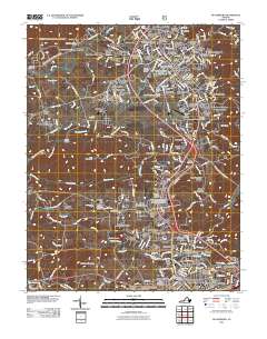
2011 Map of Blacksburg
USGS Topo · Published 2011About this map
Blacksburg serves as the focal point of this Montgomery County landscape, dominated by the sprawling campus of Virginia Polytechnic Institute and State University. The university's influence is evident in the surrounding infrastructure, from the Virginia Tech Airport and Virginia Tech Golf Course to athletic landmarks like Worsham Field and the Johnson Track/Soccer Complex. Residential growth is mapped through dozens of named neighborhoods and additions, such as McBryde Village and Keister Addition.
Find a feature on this map
284 named features on this map. Tap any name to fly to it.
Don’t see what you’re looking for? This feature index may not catch every label — zoom into the map to look around manually.
Map Details
Editions of this 2011 Blacksburg Map
This is the sole edition of this map. No revisions or reprints were ever made.
Other maps of this area

1890 · Dublin
USGS Topo · 1:125,000

1890 · Christiansburg
USGS Topo · 1:125,000

1891 · Dublin
USGS Topo · 1:125,000

1923 · Pearisburg
USGS Topo · 1:62,500

1923 · Waiteville
USGS Topo · 1:62,500

1931 · Waiteville
USGS Topo · 1:48,000

1932 · Pearisburg
USGS Topo · 1:48,000

1932 · Blacksburg
USGS Topo · 1:48,000

1937 · Pearisburg
USGS Topo · 1:62,500

1937 · Blacksburg
USGS Topo · 1:62,500