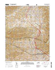
2016 Map of Blacksburg
USGS Topo · Published 2016About this map
Blacksburg and the sprawling campus of Virginia Polytechnic Institute and State Univ dominate the northern landscape of this Montgomery County survey. The terrain transitions from the slopes of Brush Mtn and Price Mtn into the developing corridors connecting the county seat at Christiansburg to the south. Local history is deeply etched into the land through numerous family and community burial grounds, such as Kipps Cem and Flag Cem, alongside industrial and transportation hubs like the Virginia Tech/Montgomery Executive Airport and the Norfolk Southern rail lines.
Find a feature on this map
211 named features on this map. Tap any name to fly to it.
Don’t see what you’re looking for? This feature index may not catch every label — zoom into the map to look around manually.
Map Details
Editions of this 2016 Blacksburg Map
This is the sole edition of this map. No revisions or reprints were ever made.
Other maps of this area

1890 · Dublin
USGS Topo · 1:125,000

1890 · Christiansburg
USGS Topo · 1:125,000

1891 · Dublin
USGS Topo · 1:125,000

1923 · Pearisburg
USGS Topo · 1:62,500

1923 · Waiteville
USGS Topo · 1:62,500

1931 · Waiteville
USGS Topo · 1:48,000

1932 · Pearisburg
USGS Topo · 1:48,000

1932 · Blacksburg
USGS Topo · 1:48,000

1937 · Pearisburg
USGS Topo · 1:62,500

1937 · Blacksburg
USGS Topo · 1:62,500