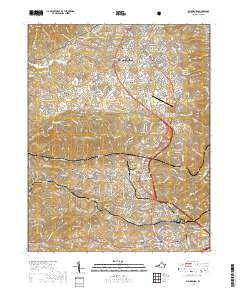
2019 Map of Blacksburg
USGS Topo · Published 2019About this map
Virginia Polytechnic Institute and State University anchors the northern portion of this Montgomery County landscape, its sprawling campus and the adjacent Virginia Tech/Montgomery Executive Airport illustrating the modern development of the area. To the south, the community of Christiansburg serves as a regional hub, featuring the Montgomery County Courthouse and the southern terminus of the busy corridor connecting it to Blacksburg. Between these centers, the terrain is marked by significant ridgelines including Price Mtn and Barringer Mtn, while the fringes of the Jefferson National Forest touch the northwestern corner near Shaffer Hollow. This recent survey details the growth of residential developments like Vicker Heights and Belmont Farms alongside traditional sites such as Kanodes Mill and the historic Yellow Sulphur Springs. Local history is well-preserved through numerous burial grounds including Kipps Cem and Roselawn Memorial Cem, offering a clear view of the county's settled past and current expansion.
Find a feature on this map
47 named features on this map. Tap any name to fly to it.
Don’t see what you’re looking for? This feature index may not catch every label — zoom into the map to look around manually.
Map Details
Editions of this 2019 Blacksburg Map
This is the sole edition of this map. No revisions or reprints were ever made.
Other maps of this area

1890 · Dublin
USGS Topo · 1:125,000

1890 · Christiansburg
USGS Topo · 1:125,000

1891 · Dublin
USGS Topo · 1:125,000

1923 · Pearisburg
USGS Topo · 1:62,500

1923 · Waiteville
USGS Topo · 1:62,500

1931 · Waiteville
USGS Topo · 1:48,000

1932 · Pearisburg
USGS Topo · 1:48,000

1932 · Blacksburg
USGS Topo · 1:48,000

1937 · Pearisburg
USGS Topo · 1:62,500

1937 · Blacksburg
USGS Topo · 1:62,500