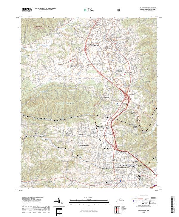
2022 Map of Blacksburg
USGS Topo · Published 2022About this map
Virginia Polytechnic Institute and State University serves as the focal point of this modern topographic survey, illustrating the extensive academic and athletic infrastructure of the campus in Blacksburg. The transition from the dense urban corridor along Main St to the sprawling hills of Jefferson National Forest highlights the region's balance between educational expansion and natural preservation. To the south, the map details the suburban and industrial connectivity between Christiansburg and the historic community of Cambria, where the Montgomery County Courthouse anchors the local seat of government.
Find a feature on this map
51 named features on this map. Tap any name to fly to it.
Don’t see what you’re looking for? This feature index may not catch every label — zoom into the map to look around manually.
Map Details
Editions of this 2022 Blacksburg Map
This is the sole edition of this map. No revisions or reprints were ever made.
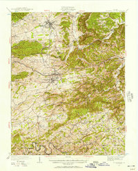
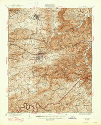
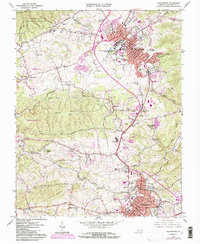
Historical Maps of Yellow Sulphur Through Time
4 maps found