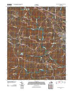
2010 Map of Blackstone West
USGS Topo · Published 2010About this map
The Blackstone town center and its western rural reaches define this landscape at the transition of the new millennium. The eastern edge of the survey captures the residential and civic heart of the community, including the Blackstone Post Office and the expansive Lakeview Cemetery. Moving westward, the terrain is shaped by a complex network of small waterways and engineered impoundments. Numerous dams, such as Epes Dam forming Lake Amtoco and Williams Dam at Williams Lake, illustrate how local water resources have been managed for utilities and recreation.
Find a feature on this map
53 named features on this map. Tap any name to fly to it.
Don’t see what you’re looking for? This feature index may not catch every label — zoom into the map to look around manually.
Map Details
Editions of this 2010 Blackstone West Map
This is the sole edition of this map. No revisions or reprints were ever made.
Other maps of this area

1891 · Farmville
USGS Topo · 1:125,000

1893 · Farmville
USGS Topo · 1:125,000

1897 · Amelia
USGS Topo · 1:125,000

1918 · Lawrenceville
USGS Topo · 1:62,500

1920 · Lawrenceville
USGS Topo · 1:48,000

1921 · Lawrenceville
USGS Topo · 1:62,500

1942 · Lawrenceville
USGS Topo · 1:62,500

1943 · Richmond
USGS Topo · 1:250,000

1947 · Roanoke
USGS Topo · 1:250,000

1949 · Richmond
USGS Topo · 1:250,000