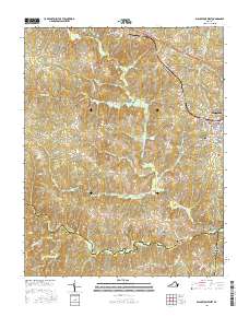
2016 Map of Blackstone West
USGS Topo · Published 2016About this map
Nottoway Court House serves as the focal point for this section of Southside Virginia, where the seat of government sits amidst a landscape defined by the intricate tributaries of the Little Nottoway River. The settlement pattern follows the high ground between creek drainages, with Blackstone appearing as the primary urban center in the east, characterized by a dense grid of streets including Nottoway Ave and Church St. This 2016 survey illustrates the persistent rural character of the region, where family and place names like Sneads Spring, Irby, and Murdocks mark crossroads and historic landholdings.
Find a feature on this map
89 named features on this map. Tap any name to fly to it.
Don’t see what you’re looking for? This feature index may not catch every label — zoom into the map to look around manually.
Map Details
Editions of this 2016 Blackstone West Map
This is the sole edition of this map. No revisions or reprints were ever made.
Other maps of this area

1891 · Farmville
USGS Topo · 1:125,000

1893 · Farmville
USGS Topo · 1:125,000

1897 · Amelia
USGS Topo · 1:125,000

1918 · Lawrenceville
USGS Topo · 1:62,500

1920 · Lawrenceville
USGS Topo · 1:48,000

1921 · Lawrenceville
USGS Topo · 1:62,500

1942 · Lawrenceville
USGS Topo · 1:62,500

1943 · Richmond
USGS Topo · 1:250,000

1947 · Roanoke
USGS Topo · 1:250,000

1949 · Richmond
USGS Topo · 1:250,000