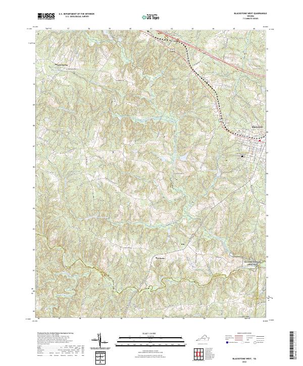
2022 Map of Blackstone West
USGS Topo · Published 2022About this map
Blackstone anchors the eastern edge of this Nottoway County landscape, where the street grid transitions into a network of rural roads and creek drainages. The terrain is defined by the winding course of the Little Nottoway River and Horsepen Cr, which feed into local water bodies like Williams Lake and Lake Amtoco. These water sources were central to the area's development, providing the necessary resources for early settlements and agricultural tracts.
Find a feature on this map
97 named features on this map. Tap any name to fly to it.
Don’t see what you’re looking for? This feature index may not catch every label — zoom into the map to look around manually.
Map Details
Editions of this 2022 Blackstone West Map
This is the sole edition of this map. No revisions or reprints were ever made.
Other maps of this area

1891 · Farmville
USGS Topo · 1:125,000

1893 · Farmville
USGS Topo · 1:125,000

1897 · Amelia
USGS Topo · 1:125,000

1918 · Lawrenceville
USGS Topo · 1:62,500

1920 · Lawrenceville
USGS Topo · 1:48,000

1921 · Lawrenceville
USGS Topo · 1:62,500

1942 · Lawrenceville
USGS Topo · 1:62,500

1943 · Richmond
USGS Topo · 1:250,000

1947 · Roanoke
USGS Topo · 1:250,000

1949 · Richmond
USGS Topo · 1:250,000