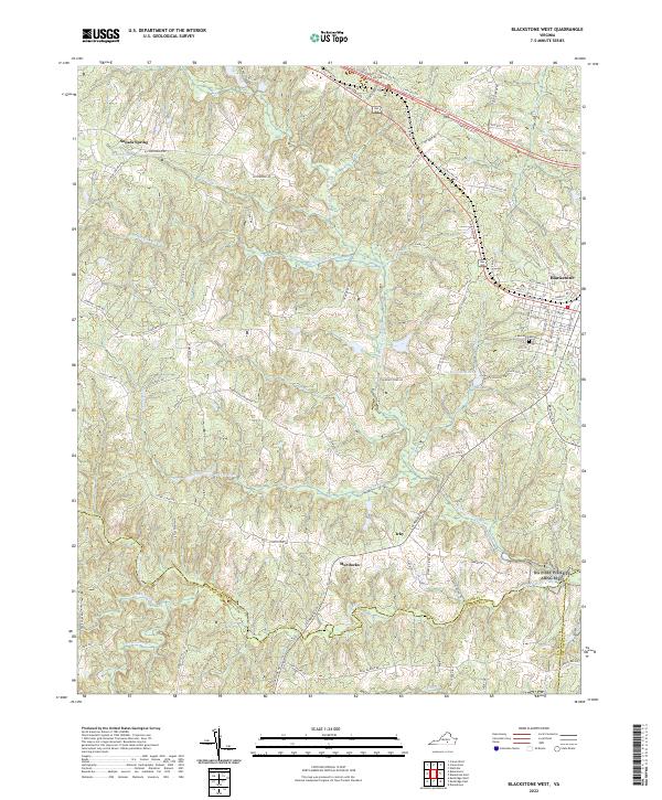
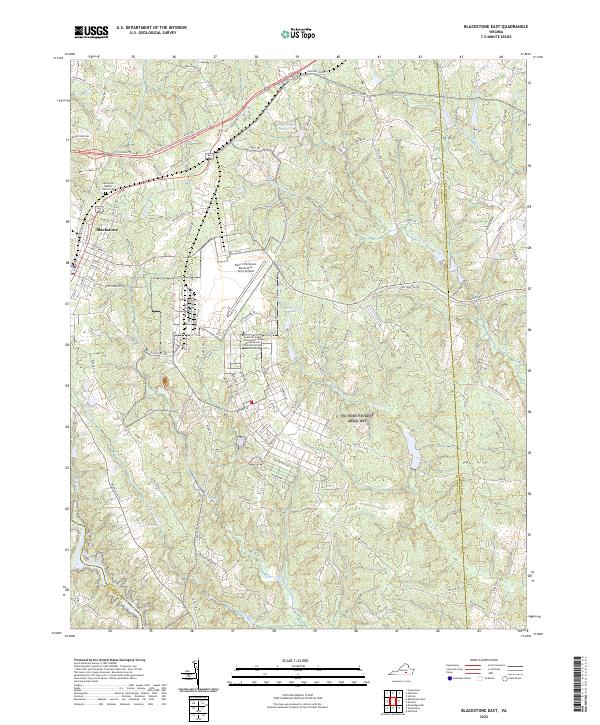
2022 Map of Blackstone West
USGS Topo · Published 2022About this map
Blackstone anchors the eastern edge of this Nottoway County landscape, where the street grid transitions into a network of rural roads and creek drainages. The terrain is defined by the winding course of the Little Nottoway River and Horsepen Cr, which feed into local water bodies like Williams Lake and Lake Amtoco. These water sources were central to the area's development, providing the necessary resources for early settlements and agricultural tracts.
Find a feature on this map
97 named features on this map. Tap any name to fly to it.
Don’t see what you’re looking for? This feature index may not catch every label — zoom into the map to look around manually.
Map Details
Editions of this 2022 Blackstone West Map
This is the sole edition of this map. No revisions or reprints were ever made.
Historical Maps of Murdocks Through Time
11 maps found
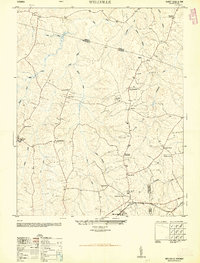
1950 Wellville
Nottoway County, VA
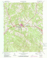
1966 Blackstone East
Nottoway County, VA
1966 Wellville
Nottoway County, VA
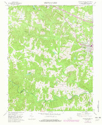
1968 Blackstone West
Nottoway County, VA
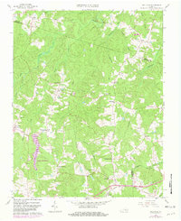
1968 Crewe East
Nottoway County, VA
1968 Crewe West
Nottoway County, VA
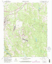
2022 Blackstone East
Nottoway County, VA
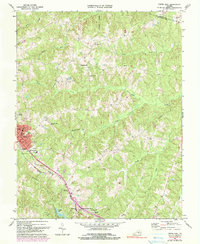
2022 Blackstone West
Nottoway County, VA
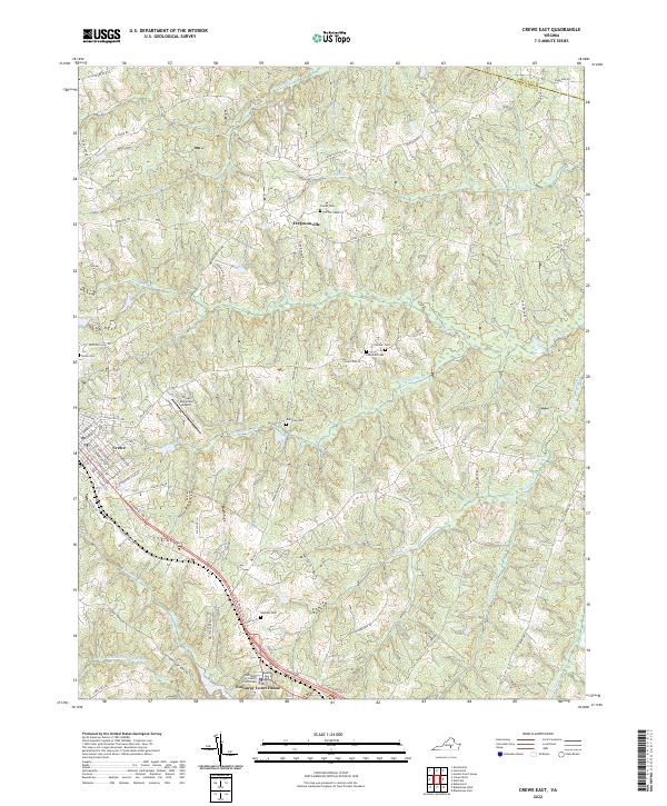
2022 Crewe East
Nottoway County, VA
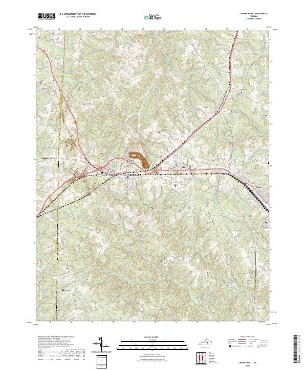
2022 Crewe West
Nottoway County, VA
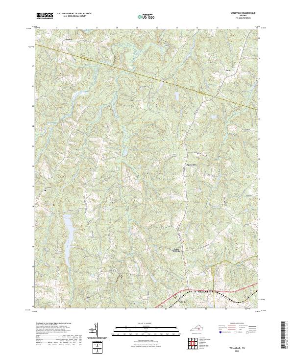
2022 Wellville
Nottoway County, VA