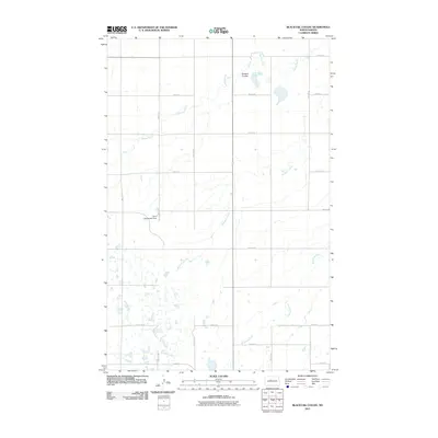
2011 Map of Blacktail Coulee
USGS Topo · Published 2011About this map
Blacktail Coulee winds across this prairie landscape of Ward County, defining a region where glacial hydrology meets modern agricultural infrastructure. The northern portion of the map is dominated by the drainage of Spring Creek and the marshy depression of Bowers Coulee, while the southern reaches are marked by the presence of the Wintering River. A clear grid of township roads, such as 32nd St N and 35th St N, organizes the wide-open terrain of the North Dakota plains. A localized point of interest, the Velva Sportsman Dam, sits along one of the many seasonal drainages, indicating how water management and local recreation are integrated into this rural expanse. This 2011 survey records the land as it appeared in the early 21st century, illustrating the enduring township-and-range section lines that continue to dictate the movement of people and resources across the state.
Find a feature on this map
14 named features on this map. Tap any name to fly to it.
Don’t see what you’re looking for? This feature index may not catch every label — zoom into the map to look around manually.
Map Details
Editions of this 2011 Blacktail Coulee Map
This is the sole edition of this map. No revisions or reprints were ever made.
Other maps of this area

1929 · Sawyer
USGS Topo · 1:62,500

1929 · Benedict
USGS Topo · 1:62,500

1929 · Kongsberg
USGS Topo · 1:62,500

1948 · Voltaire
USGS Topo · 1:24,000

1948 · Velva
USGS Topo · 1:62,500

1948 · Sawyer
USGS Topo · 1:24,000

1949 · Sawyer
USGS Topo · 1:24,000

1949 · Velva
USGS Topo · 1:24,000

1949 · Voltaire
USGS Topo · 1:24,000

1949 · Sawyer
USGS Topo · 1:62,500