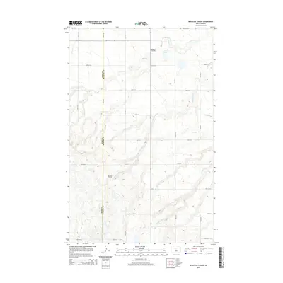
2014 Map of Blacktail Coulee
USGS Topo · Published 2014About this map
Wintering River and several significant coulees define this portion of the northern plains along the boundary of Ward and McHenry Counties. The landscape is dominated by the erosion patterns of Blacktail Coulee, which carves a deep path through the center of the sheet, and Bowers Coulee to the north. These natural drainage features break up an otherwise strictly organized grid of rural section roads, including 40th St N and 345th Ave SE. A few scattered water bodies, such as those feeding into Spring Cr, dot the upland areas between the deeper valleys. This 2014 survey records a modern rural topography where the traditional township-and-range lines are the primary evidence of human activity, contrasting with the sinuous, unregimented paths of the ancient coulees.
Find a feature on this map
20 named features on this map. Tap any name to fly to it.
Don’t see what you’re looking for? This feature index may not catch every label — zoom into the map to look around manually.
Map Details
Editions of this 2014 Blacktail Coulee Map
This is the sole edition of this map. No revisions or reprints were ever made.
Other maps of this area

1929 · Sawyer
USGS Topo · 1:62,500

1929 · Benedict
USGS Topo · 1:62,500

1929 · Kongsberg
USGS Topo · 1:62,500

1948 · Voltaire
USGS Topo · 1:24,000

1948 · Velva
USGS Topo · 1:62,500

1948 · Sawyer
USGS Topo · 1:24,000

1949 · Sawyer
USGS Topo · 1:24,000

1949 · Velva
USGS Topo · 1:24,000

1949 · Voltaire
USGS Topo · 1:24,000

1949 · Sawyer
USGS Topo · 1:62,500