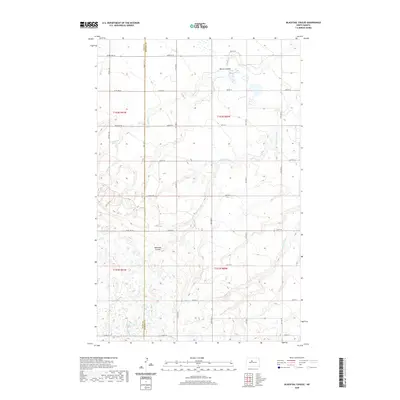
2020 Map of Blacktail Coulee
USGS Topo · Published 2020About this map
Blacktail Coulee and the Wintering River dominate this segment of the North Dakota plains, where the landscape is defined by the sharp transition between level tablelands and the eroded drainages of the Missouri Plateau. This 2020 edition reveals the precise boundary line between Ward County and McHenry County, a divide that follows the section lines of the Public Land Survey System. The map shows a strictly organized rural infrastructure, with a grid of section-line roads like 32nd St N and 40th St N providing access to the open agricultural tracts. Scattered wetlands and depressions are concentrated around Bowers Coulee and Spring Cr, reflecting the region's glacial history and the modern-day importance of seasonal water management in the northern prairies.
Find a feature on this map
23 named features on this map. Tap any name to fly to it.
Don’t see what you’re looking for? This feature index may not catch every label — zoom into the map to look around manually.
Map Details
Editions of this 2020 Blacktail Coulee Map
This is the sole edition of this map. No revisions or reprints were ever made.
Other maps of this area

1929 · Sawyer
USGS Topo · 1:62,500

1929 · Benedict
USGS Topo · 1:62,500

1929 · Kongsberg
USGS Topo · 1:62,500

1948 · Voltaire
USGS Topo · 1:24,000

1948 · Velva
USGS Topo · 1:62,500

1948 · Sawyer
USGS Topo · 1:24,000

1949 · Sawyer
USGS Topo · 1:24,000

1949 · Velva
USGS Topo · 1:24,000

1949 · Voltaire
USGS Topo · 1:24,000

1949 · Sawyer
USGS Topo · 1:62,500