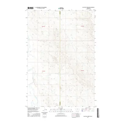
2017 Map of Blacktail Creek NW
USGS Topo · Published 2017About this map
The Powder River meanders across the western edge of this southeastern Montana landscape, defining the local geography as it flows through the semi-arid plains of the high prairie. This 2017 survey by the U.S. Geological Survey documents the topographical transition between Custer and Carter counties, a boundary that bisects the map. The drainage patterns are intricate, with seasonal waterways such as Alkali Cr, Blacktail Cr, and Little Blacktail Cr carving a network of coulees and draws through the township ranges of t2n r54e and t2n r55e. The terrain is characterized by dissected uplands where Nichols Cr and other small tributaries feed the larger river system, reflecting the traditional grazing and ranching character of this sparsely populated borderland.
Find a feature on this map
10 named features on this map. Tap any name to fly to it.
Don’t see what you’re looking for? This feature index may not catch every label — zoom into the map to look around manually.
Map Details
Editions of this 2017 Blacktail Creek NW Map
This is the sole edition of this map. No revisions or reprints were ever made.
Other maps of this area

1953 · Miles City
USGS Topo · 1:250,000

1954 · Ekalaka
USGS Topo · 1:250,000

1956 · Ekalaka
USGS Topo · 1:250,000

1957 · Miles City
USGS Topo · 1:250,000

1958 · Miles City
USGS Topo · 1:250,000

1958 · Ekalaka
USGS Topo · 1:250,000

1965 · Ekalaka
USGS Topo · 1:250,000

1969 · Tepee Butte
USGS Topo · 1:24,000

1979 · Blacktail Creek NW
USGS Topo · 1:24,000

1979 · Blacktail Creek SE
USGS Topo · 1:24,000