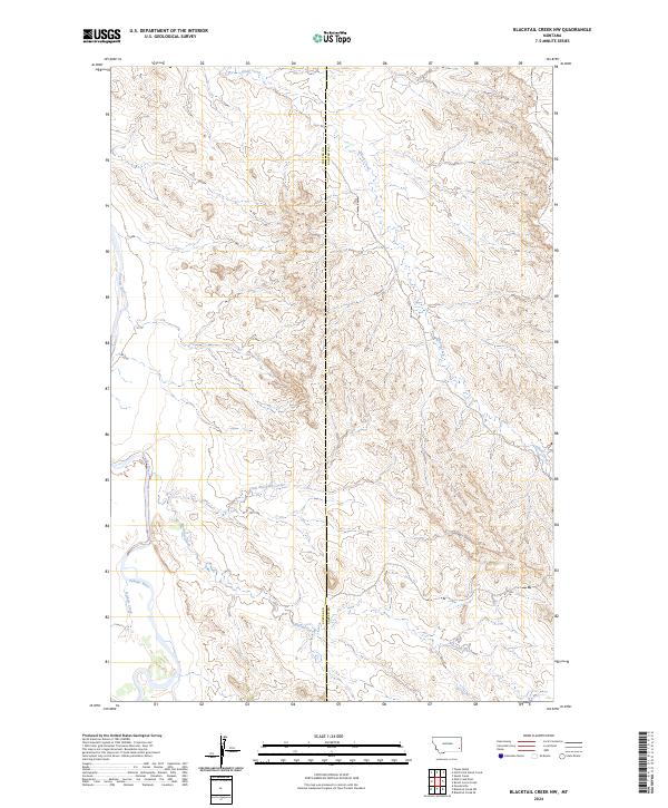
2024 Map of Blacktail Creek NW
USGS Topo · Published 2024About this map
The Powder River carves a winding path along the western edge of this territory, defining a landscape marked by its drainage networks. Small intermittent flows like Nichols Creek feed into the river, while the central and eastern sections are shaped by the bifurcating paths of Blacktail Creek and Little Blacktail Creek. This area sits on the boundary between Custer and Carter counties, a remote ranching and grazing region where the terrain is dominated by complex contour patterns rather than concentrated settlements. To the north, the headwaters of Alkali Creek drain through the ridges. The map captures the fundamental geography of this Montana borderland, focusing on the essential water sources that have historically dictated land use and property boundaries in the high plains.
Find a feature on this map
10 named features on this map. Tap any name to fly to it.
Don’t see what you’re looking for? This feature index may not catch every label — zoom into the map to look around manually.
Map Details
Editions of this 2024 Blacktail Creek NW Map
This is the sole edition of this map. No revisions or reprints were ever made.
Other maps of this area

1953 · Miles City
USGS Topo · 1:250,000

1954 · Ekalaka
USGS Topo · 1:250,000

1956 · Ekalaka
USGS Topo · 1:250,000

1957 · Miles City
USGS Topo · 1:250,000

1958 · Miles City
USGS Topo · 1:250,000

1958 · Ekalaka
USGS Topo · 1:250,000

1965 · Ekalaka
USGS Topo · 1:250,000

1969 · Tepee Butte
USGS Topo · 1:24,000

1979 · Blacktail Creek NW
USGS Topo · 1:24,000

1979 · Blacktail Creek SE
USGS Topo · 1:24,000