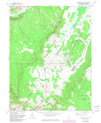
1968 Map of Blackwater Falls
USGS Topo · Published 1982About this map
Blackwater River carves through the high plateau of the Allegheny Mountains in this late 1960s survey, defined by the sharp descent of Blackwater Falls and the sprawling wetland complex of the Canaan Valley. The landscape reflects a mix of recreation and resource extraction, with Canaan Valley State Park and the Dolly Sods Wilderness preserving the high-altitude terrain, while a Strip Mine near Fairfax Knob and scattered gas wells and drill holes indicate the era's industrial activity. Small settlements like Cortland and Canaan Heights are connected by a network of trails and jeep tracks. The presence of a Landing Strip in the center of the valley and a Golf Course further south suggests the region's mid-century transition toward a tourism-based economy, even as the Monongahela National Forest remains the dominant steward of the surrounding slopes.
Find a feature on this map
44 named features on this map. Tap any name to fly to it.
Don’t see what you’re looking for? This feature index may not catch every label — zoom into the map to look around manually.
Map Details
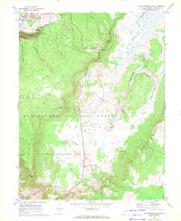
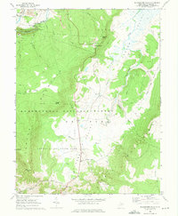
Editions of this 1968 Blackwater Falls Map
3 editions found
Other maps of this area

1886 · St. George
USGS Topo · 1:125,000

1889 · Beverly
USGS Topo · 1:125,000

1891 · St. George
USGS Topo · 1:125,000

1892 · Beverly
USGS Topo · 1:125,000

1892 · Franklin
USGS Topo · 1:125,000

1895 · Piedmont
USGS Topo · 1:125,000

1896 · Franklin
USGS Topo · 1:125,000

1908 · Parsons
USGS Topo · 1:62,500

1916 · Davis
USGS Topo · 1:48,000

1918 · Davis
USGS Topo · 1:62,500