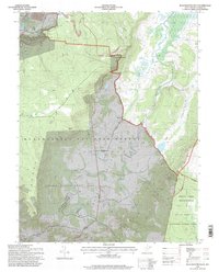
1995 Map of Blackwater Falls
USGS Topo · Published 1998About this map
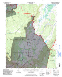
Canaan Valley and its surrounding high-altitude wetlands dominate this mid-1990s landscape, illustrating the complex intersection of conservation and industry in West Virginia. The settlement of Davis sits at the northern edge, near the iconic Blackwater Falls State Park, while the southern reaches transition into the protected Dolly Sods Wilderness and Dolly Sods National Scenic Area. Between these landmarks, human activity is visible through a strip mine near Fairfax, a Quarry, and a large pipeline corridor.
Find a feature on this map
40 named features on this map. Tap any name to fly to it.
Don’t see what you’re looking for? This feature index may not catch every label — zoom into the map to look around manually.
Map Details
Editions of this 1995 Blackwater Falls Map
2 editions found
Other maps of this area

1886 · St. George
USGS Topo · 1:125,000

1889 · Beverly
USGS Topo · 1:125,000

1891 · St. George
USGS Topo · 1:125,000

1892 · Beverly
USGS Topo · 1:125,000

1892 · Franklin
USGS Topo · 1:125,000

1895 · Piedmont
USGS Topo · 1:125,000

1896 · Franklin
USGS Topo · 1:125,000

1908 · Parsons
USGS Topo · 1:62,500

1916 · Davis
USGS Topo · 1:48,000

1918 · Davis
USGS Topo · 1:62,500