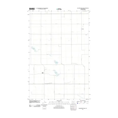
2011 Map of Blackwater Lake
USGS Topo · Published 2011About this map
White Shield sits at the center of this rural landscape, defined by the sectional grid of McLean County and a series of prairie water bodies. The geography is dominated by natural depressions and waterways, including Blackwater Lake, Brumwell Slough, and Minehan Slough. These features, alongside the West Branch Douglas Creek, illustrate the drainage patterns of the northern plains. The road network follows a strict rectilinear pattern, with named routes like Yellow Bear Rd and County Hwy 9 providing access to local homesteads. For genealogists, the Roseglen Cemetery in the northeast serves as a significant landmark for tracing early 20th-century family histories in the area. The map reveals a community deeply integrated with its hydrological environment, where small settlements and isolated cemeteries persist amidst a landscape shaped by glacial sloughs and creek branches.
Find a feature on this map
17 named features on this map. Tap any name to fly to it.
Don’t see what you’re looking for? This feature index may not catch every label — zoom into the map to look around manually.
Map Details
Editions of this 2011 Blackwater Lake Map
This is the sole edition of this map. No revisions or reprints were ever made.
Other maps of this area

1954 · McClusky
USGS Topo · 1:250,000

1956 · Makoti SW
USGS Topo · 1:24,000

1956 · Blackwater Lake NW
USGS Topo · 1:24,000

1956 · Blackwater Lake
USGS Topo · 1:24,000

1956 · Blue Hill
USGS Topo · 1:24,000

1956 · Emmet
USGS Topo · 1:24,000

1956 · Roseglen
USGS Topo · 1:24,000

1958 · McClusky
USGS Topo · 1:250,000

1967 · Blackwater Lake SE
USGS Topo · 1:24,000

1967 · Blackwater Lake SW
USGS Topo · 1:24,000