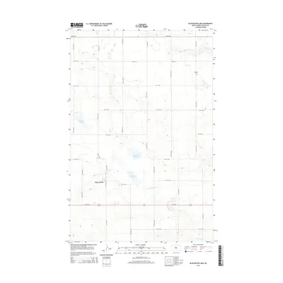
2014 Map of Blackwater Lake
USGS Topo · Published 2014About this map
White Shield sits as the central settlement in this McLean County landscape, defined by a grid of agricultural section roads and the natural depressions of the northern plains. The terrain is characterized by significant water features including Blackwater Lake and the marshy expanses of Minehan Slough and Brumwell Slough. To the southeast, the drainage of the W Br Douglas Cr carves through the undulating topography. Genealogists and local historians will find the Roseglen Cem in the northeastern quadrant, a quiet landmark within the expansive rural layout. The map preserves the 2014 configuration of local infrastructure, from the primary corridor of 16th St NW to the numerous secondary avenues that provide access to the area's farms and open prairie.
Find a feature on this map
24 named features on this map. Tap any name to fly to it.
Don’t see what you’re looking for? This feature index may not catch every label — zoom into the map to look around manually.
Map Details
Editions of this 2014 Blackwater Lake Map
This is the sole edition of this map. No revisions or reprints were ever made.
Other maps of this area

1954 · McClusky
USGS Topo · 1:250,000

1956 · Makoti SW
USGS Topo · 1:24,000

1956 · Blackwater Lake NW
USGS Topo · 1:24,000

1956 · Blackwater Lake
USGS Topo · 1:24,000

1956 · Blue Hill
USGS Topo · 1:24,000

1956 · Emmet
USGS Topo · 1:24,000

1956 · Roseglen
USGS Topo · 1:24,000

1958 · McClusky
USGS Topo · 1:250,000

1967 · Blackwater Lake SE
USGS Topo · 1:24,000

1967 · Blackwater Lake SW
USGS Topo · 1:24,000